Transport Functions
Multimodal
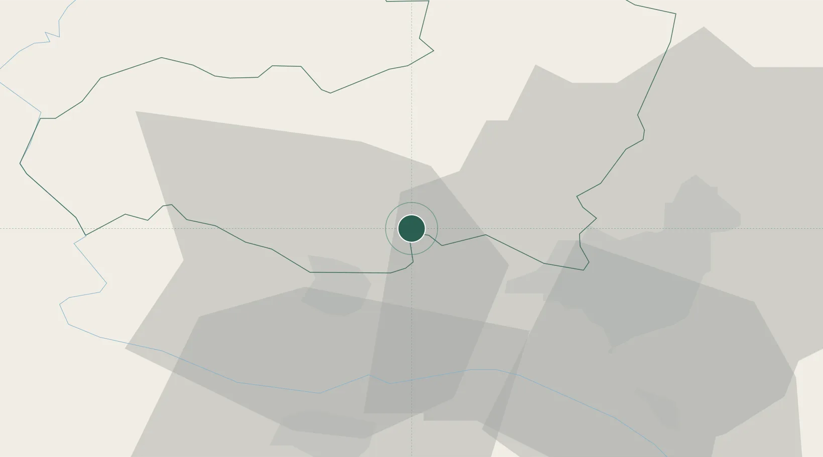
Hub Profile
Place type
Populated place
Region
Aragatsotn
Population
799
Time zone
Asia/Yerevan
Elevation
1,065 m
Location
Nearby Logistics Neighbours
Ports
- 1Batumi263 km
- 2Hopa267 km
- 3Supsa Marine Terminal290 km
- 4Rize321 km
- 5Trabzon381 km
Airports
- 1Zvartnots International Airport23 km
- 2Erebuni Airport29 km
- 3Iğdır Airport39 km
- 4Shirak International Airport61 km
- 5Kars Airport96 km
Trade Zones
- 1Meridian Free Economic Zone23 km
- 2Alliance Free Zone29 km
- 3Jrvezh Engineering City36 km
- 4Ecos Free Economic Zone59 km
- 5Gyumri Eurasian Logistic Park63 km
DatabookThe Record of Consolidated Knowledge
Armenia beyond logistics?