Transport Functions
Rail
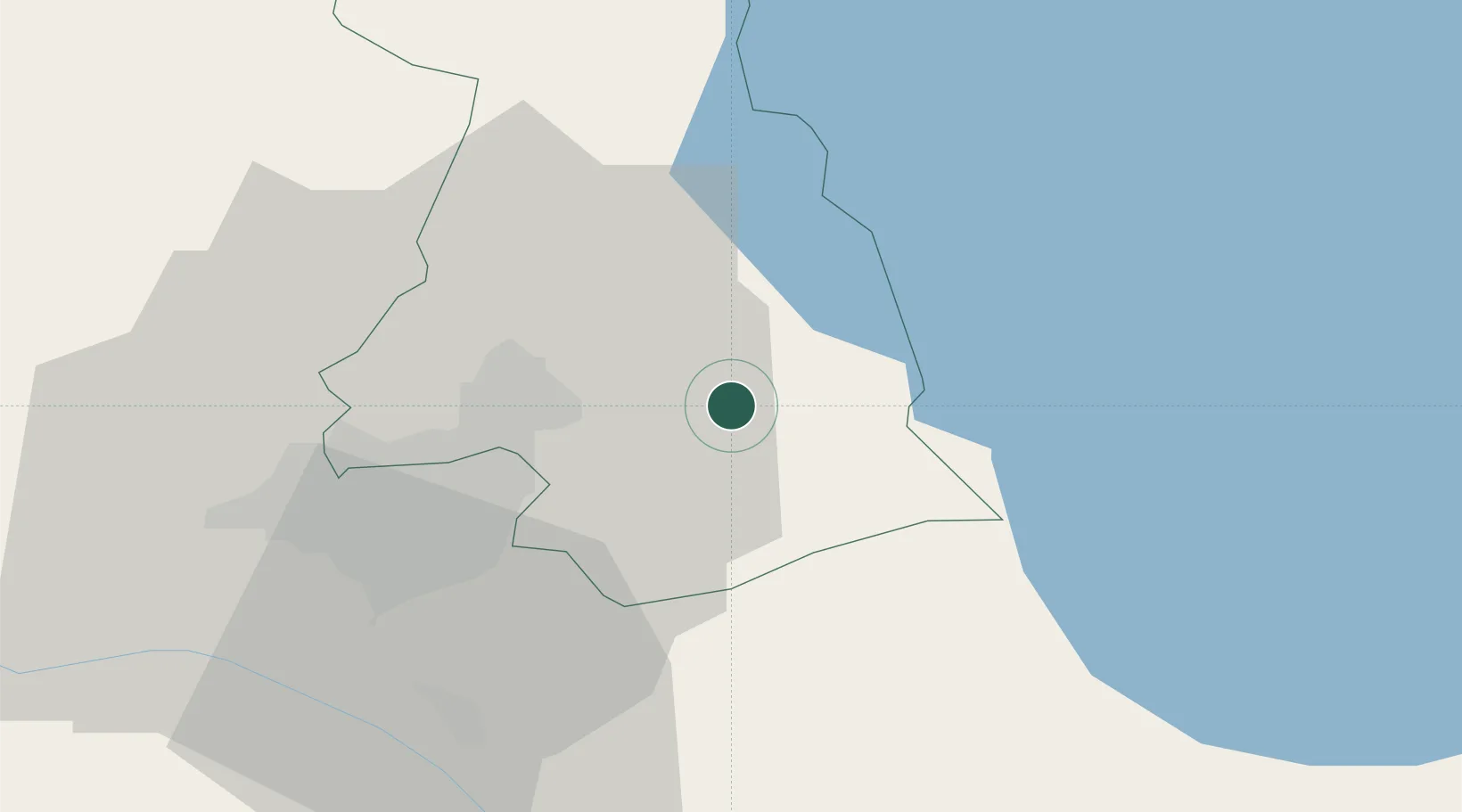
Hub Profile
Place type
Provincial seat
Region
Kotayk
Population
47,546
Time zone
Asia/Yerevan
Elevation
1,450 m
Location
Nearby Logistics Neighbours
Ports
- 1Batumi305 km
- 2Hopa312 km
- 3Supsa Marine Terminal328 km
- 4Rize371 km
- 5Trabzon431 km
Airports
- 1Erebuni Airport32 km
- 2Zvartnots International Airport35 km
- 3Iğdır Airport84 km
- 4Shirak International Airport95 km
- 5Maku National Airport120 km
Trade Zones
- 1Jrvezh Engineering City19 km
- 2Alliance Free Zone26 km
- 3Ecos Free Economic Zone32 km
- 4Meridian Free Economic Zone35 km
- 5Gyumri Eurasian Logistic Park97 km
DatabookThe Record of Consolidated Knowledge
Armenia beyond logistics?