Medium airport · Türkiye
Kars AirportLTCF
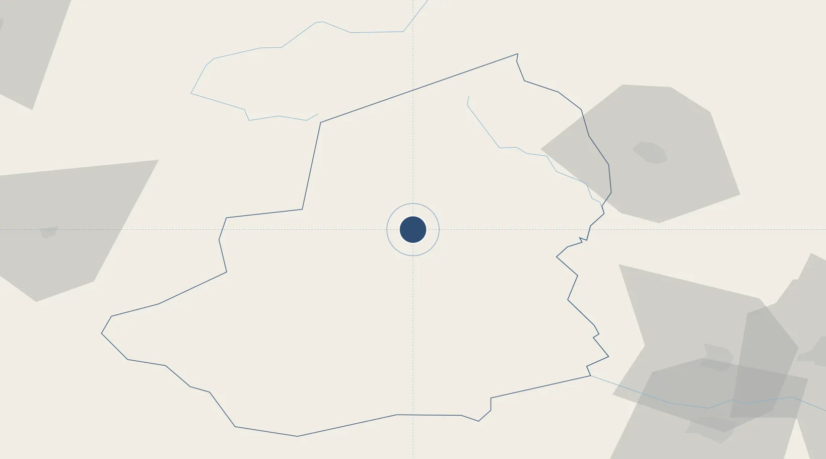
40.5622°, 43.1150°
11,483 ft
Longest runway
1
Runways
5,889 ft
Elevation
Runway & Layout

Radio Frequencies
TWR
122.4 MHz
Navaids
KAR VOR-DME Kars 113.80 MHz
KAR NDB Kars 431 kHz
Runways · 1
| Runway | Dimensions | Surface | True heading | Lit |
|---|---|---|---|---|
| 06/24 | 11,483 × 148ft | Concrete | 064° | ✓ |
Airport Specifications
IATA code
KSY
ICAO code
LTCF
Airport class
Medium airport
Scheduled service
Yes
Runway surface
Concrete
Served city
Kars
Location
Nearby Logistics Neighbours
Airports
- 1Shirak International Airport66 km
- 2Iğdır Airport92 km
- 3Ağrı Airport101 km
- 4Zvartnots International Airport118 km
- 5Erebuni Airport124 km
Cities
- 1Armavir89 km
- 2Aragatsotn96 km
- 3Akhalkalaki98 km
- 4Metsamor113 km
- 5Akhalts'ikhe120 km
Ports
- 1Batumi172 km
- 2Hopa173 km
- 3Supsa Marine Terminal207 km
- 4Rize226 km
- 5Trabzon286 km
Trade Zones
- 1Gyumri Eurasian Logistic Park65 km
- 2Meridian Free Economic Zone118 km
- 3Alliance Free Zone124 km
- 4Jrvezh Engineering City131 km
- 5Ecos Free Economic Zone137 km
DatabookThe Record of Consolidated Knowledge
Türkiye beyond logistics?