Transport Functions
Rail
Road
Hub Profile
Place type
Regional capital
Region
Kotayk
Population
49,500
Time zone
Asia/Yerevan
Elevation
1,702 m
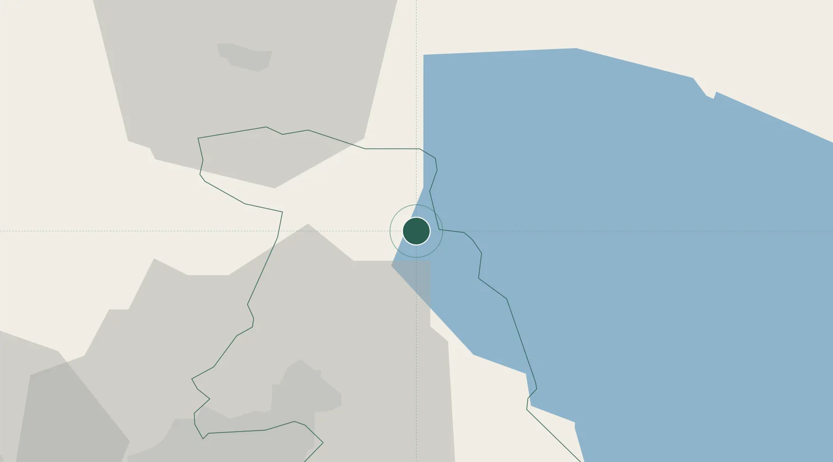
Location
Nearby Logistics Neighbours
Cities
- 1Dilijan24 km
- 2Abovyan30 km
- 3Yerevan51 km
- 4Aragatsotn60 km
- 5Masis62 km
Ports
- 1Batumi289 km
- 2Hopa299 km
- 3Supsa Marine Terminal309 km
- 4Rize363 km
- 5Sokhumi416 km
Airports
- 1Erebuni Airport52 km
- 2Zvartnots International Airport53 km
- 3Shirak International Airport80 km
- 4Iğdır Airport98 km
- 5Tbilisi Marneuli Air Base103 km
Trade Zones
DatabookThe Record of Consolidated Knowledge
Armenia beyond logistics?