Large airport · United Arab Emirates

Sharjah International AirportOMSJ
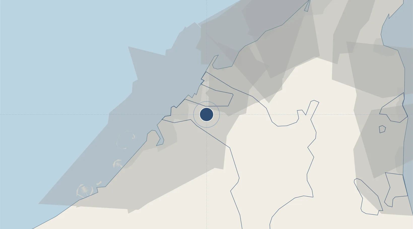
25.3286°, 55.5172°
13,320 ft
Longest runway
1
Runways
111 ft
Elevation

Runway & Layout

Sharjah International Airport runway & taxiway layout
Runway & taxiway layout — OpenStreetMap (ODbL) / OurAirports

Radio Frequencies

ATIS
122.4 MHz
TWR
118.6 MHz
APP
124.675 MHz
Ground to Ground
121.875 MHz
Ground
OurAirports

Navaids

SHJ VOR-DME Sharjah 112.30 MHz
OurAirports

Runways · 1

RunwayDimensions SurfaceTrue headingLit
12/30 13,320 × 197ft Asphalt 122°
OurAirports

Airport Specifications

IATA code
SHJ
OurAirports
ICAO code
OMSJ
OurAirports
Airport class
Large airport
OurAirports
Scheduled service
Yes
OurAirports
Runway surface
Asphalt
OurAirports
Served city
Sharjah
OurAirports

Location

Location of OMSJ
Natural Earth 10m (public domain) · Sharjah · OMSJ · 25.33, 55.52GoogleOSMYandex

Nearby Logistics Neighbours

Airports
  1. 1Dubai International Airport17 km
  2. 2Al Minhad Air Base37 km
  3. 3Ras Al Khaimah International Airport53 km
  4. 4Al Maktoum International Airport60 km
  5. 5Abu Musa Island Airport78 km
Nearest neighbours — logibook spatial index (haversine) over the source coordinates
Cities
  1. 1Saif Zone3 km
  2. 2Ras Al Khor7 km
  3. 3Sharjah11 km
  4. 4Ajman12 km
  5. 5Mina Khalid15 km
Nearest neighbours — logibook spatial index (haversine) over the source coordinates
Ports
  1. 1Ajman13 km
  2. 2Ash Shariqah14 km
  3. 3Al Hamriyah Lpg Terminal16 km
  4. 4Dubayy23 km
  5. 5Umm Al Qaywayn29 km
Nearest neighbours — logibook spatial index (haversine) over the source coordinates
Trade Zones
  1. 1Sharjah Airport International Free Zone1 km
  2. 2Sharjah Publishing City Free Zone6 km
  3. 3Ajman Media City Free Zone11 km
  4. 4Ajman Free Zone12 km
  5. 5Hamriyah Free Zone15 km
Nearest neighbours — logibook spatial index (haversine) over the source coordinates
DatabookThe Record of Consolidated Knowledge
United Arab Emirates beyond logistics?
Browse databook

All Sources

AirportsOurAirports
Public domain
Portsthe NGA World Port Index
Public domain (US gov)
LocationsUN/LOCODE
UN/LOCODE — free
Trade Zonesthe World Bank SEZ database
CC BY 4.0
Trade ZonesOpen Zone Map
CC BY
InfrastructureOpenStreetMap
ODbL 1.0
← United Arab Emirates airports