Large airport · United Arab Emirates

Dubai International AirportOMDB
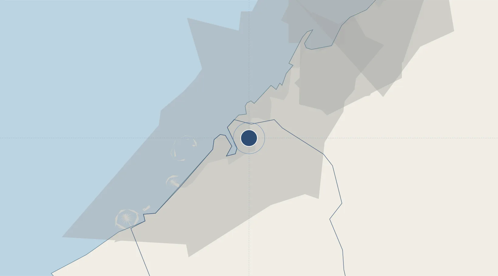
25.2498°, 55.3710°
14,590 ft
Longest runway
2
Runways
62 ft
Elevation

Runway & Layout

Dubai International Airport runway & taxiway layout
Runway & taxiway layout — OpenStreetMap (ODbL) / OurAirports

Radio Frequencies

TWR
118.75 MHz
GND
118.35 MHz
DEP
124.45 MHz
ARR
124.9 MHz
ATIS ARR
126.275 MHz
ATIS DEP
131.7 MHz
ATIS
OurAirports

Navaids

DUB VOR-DME Dubai 115.70 MHz
OurAirports

Runways · 2

RunwayDimensions SurfaceTrue headingLit
12R/30L 14,590 × 197ft Asphalt 121°
12L/30R 14,275 × 197ft Asphalt 121°
OurAirports

Airport Specifications

IATA code
DXB
OurAirports
ICAO code
OMDB
OurAirports
Airport class
Large airport
OurAirports
Scheduled service
Yes
OurAirports
Runway surface
Asphalt
OurAirports
Served city
Dubai
OurAirports

Location

Location of OMDB
Natural Earth 10m (public domain) · Dubay · OMDB · 25.25, 55.37GoogleOSMYandex

Nearby Logistics Neighbours

Airports
  1. 1Sharjah International Airport17 km
  2. 2Al Minhad Air Base25 km
  3. 3Al Maktoum International Airport45 km
  4. 4Ras Al Khaimah International Airport70 km
  5. 5Abu Musa Island Airport77 km
Nearest neighbours — logibook spatial index (haversine) over the source coordinates
Cities
  1. 1Hamriya Free Zone Port8 km
  2. 2Mina Rashid Port9 km
  3. 3Sharjah10 km
  4. 4Mina Khalid11 km
  5. 5Free Port12 km
Nearest neighbours — logibook spatial index (haversine) over the source coordinates
Ports
  1. 1Dubayy7 km
  2. 2Ash Shariqah13 km
  3. 3Ajman20 km
  4. 4Al Hamriyah Lpg Terminal27 km
  5. 5Mina Jabal Ali41 km
Nearest neighbours — logibook spatial index (haversine) over the source coordinates
Trade Zones
  1. 1Dubai Airport Free Zone1 km
  2. 2Dubai Flower Centre (DFC)4 km
  3. 3Dubai Healthcare City6 km
  4. 4Dubai Car and Automotive City Free Zone (DUCAMZ)9 km
  5. 5Dubai World Trade Centre Free Zone9 km
Nearest neighbours — logibook spatial index (haversine) over the source coordinates
DatabookThe Record of Consolidated Knowledge
United Arab Emirates beyond logistics?
Browse databook

All Sources

AirportsOurAirports
Public domain
Portsthe NGA World Port Index
Public domain (US gov)
LocationsUN/LOCODE
UN/LOCODE — free
Trade Zonesthe World Bank SEZ database
CC BY 4.0
Trade ZonesOpen Zone Map
CC BY
InfrastructureOpenStreetMap
ODbL 1.0
← United Arab Emirates airports