Medium airport · China
Baoshan Yunrui AirportZPBS
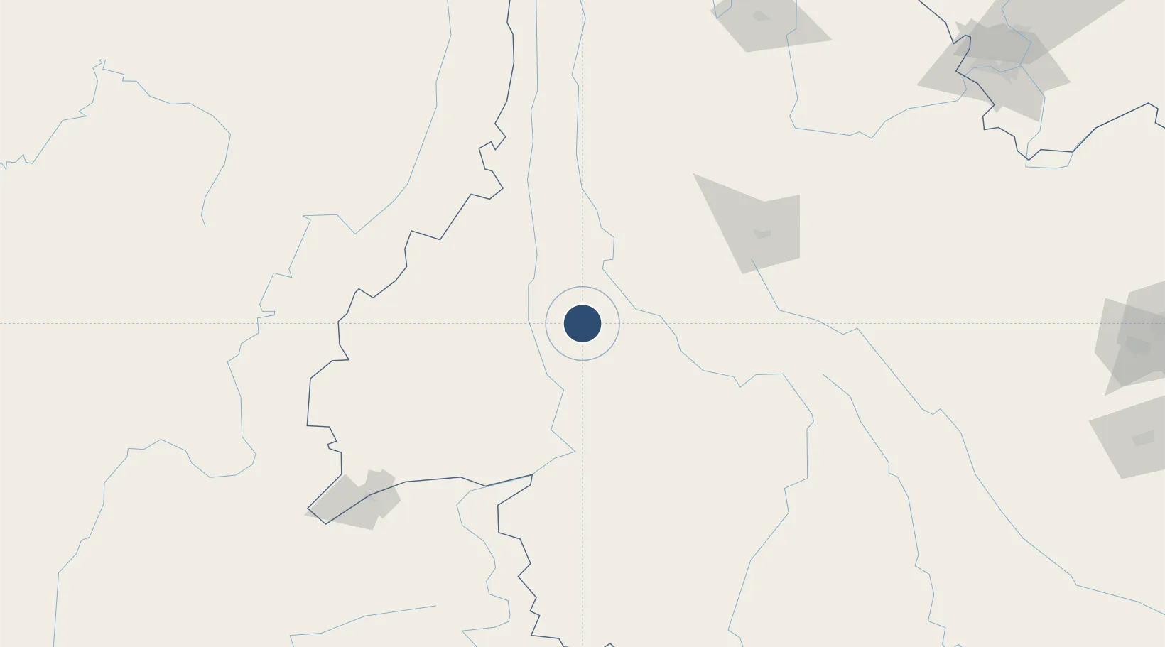
25.0533°, 99.1683°
7,874 ft
Longest runway
1
Runways
5,453 ft
Elevation
Runway & Layout

Runways · 1
| Runway | Dimensions | Surface | True heading | Lit |
|---|---|---|---|---|
| 01/19 | 7,874 × —ft | — | — | — |
Airport Specifications
IATA code
BSD
ICAO code
ZPBS
Airport class
Medium airport
Scheduled service
Yes
Served city
Baoshan (Longyang)
Location
Nearby Logistics Neighbours
Airports
- 1Tengchong Tuofeng Airport70 km
- 2Dehong Mangshi International Airport97 km
- 3Dali Fengyi Airport133 km
- 4Xiangyun Midu Air Base164 km
- 5Lincang Boshang Airport170 km
Cities
- 1Panzhihuazhan306 km
- 2Simao310 km
- 3Anning335 km
- 4Yunnan Tengjun International Land Port Logistics Center347 km
- 5Yuxi347 km
Ports
- 1Chittagong808 km
- 2Sittwe844 km
- 3Hai Phong896 km
- 4Hon Gai928 km
- 5Cam Pha950 km
DatabookThe Record of Consolidated Knowledge
China beyond logistics?