Transport Functions
Rail
Road
Multimodal
Hub Profile
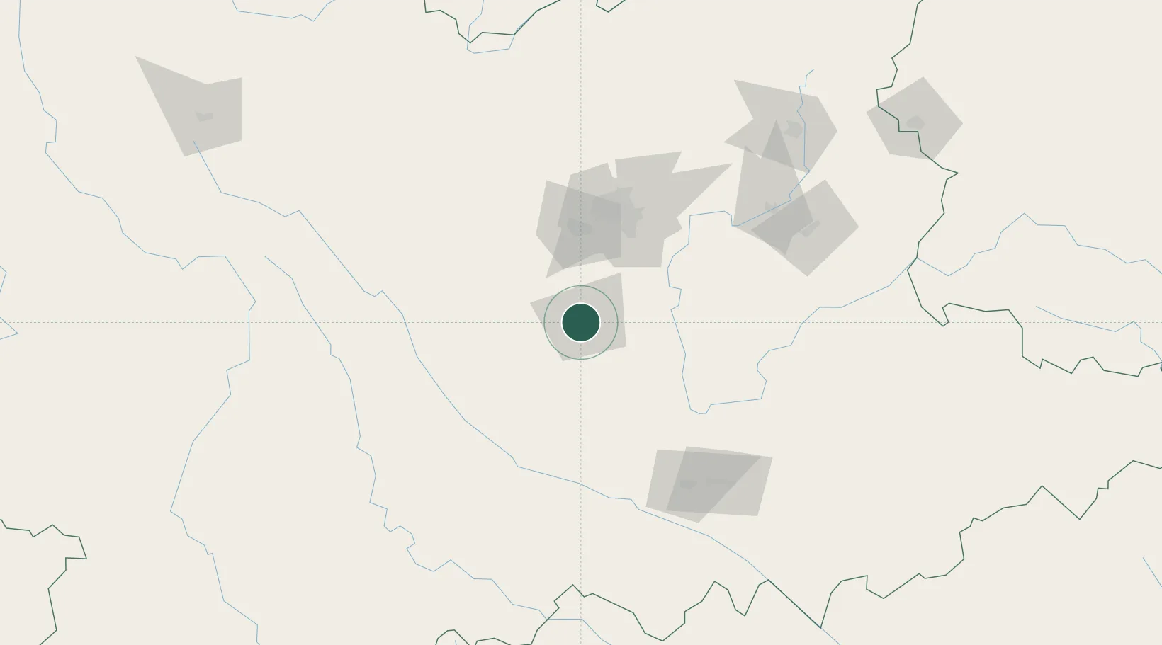
Place type
District seat
Region
Yunnan
Population
103,829
Time zone
Asia/Shanghai
Elevation
1,638 m
Location
Nearby Logistics Neighbours
Cities
- 1Yunnan Tengjun International Land Port Logistics Center41 km
- 2Anning61 km
- 3Qujing179 km
- 4Wenshan207 km
- 5Jiangcheng Mengkang224 km
Ports
- 1Hai Phong573 km
- 2Hon Gai601 km
- 3Cam Pha619 km
- 4Fang-Cheng663 km
- 5Qinzhou686 km
Airports
- 1Kunming Changshui International Airport95 km
- 2Luliang Air Base134 km
- 3Honghe Mengzi Airport / Mengzi Air Base135 km
- 4Wenshan Air Base151 km
- 5Yuanmou Air Base167 km
DatabookThe Record of Consolidated Knowledge
China beyond logistics?