Runway & Layout

Airport Specifications
Airport class
Medium airport
Scheduled service
No
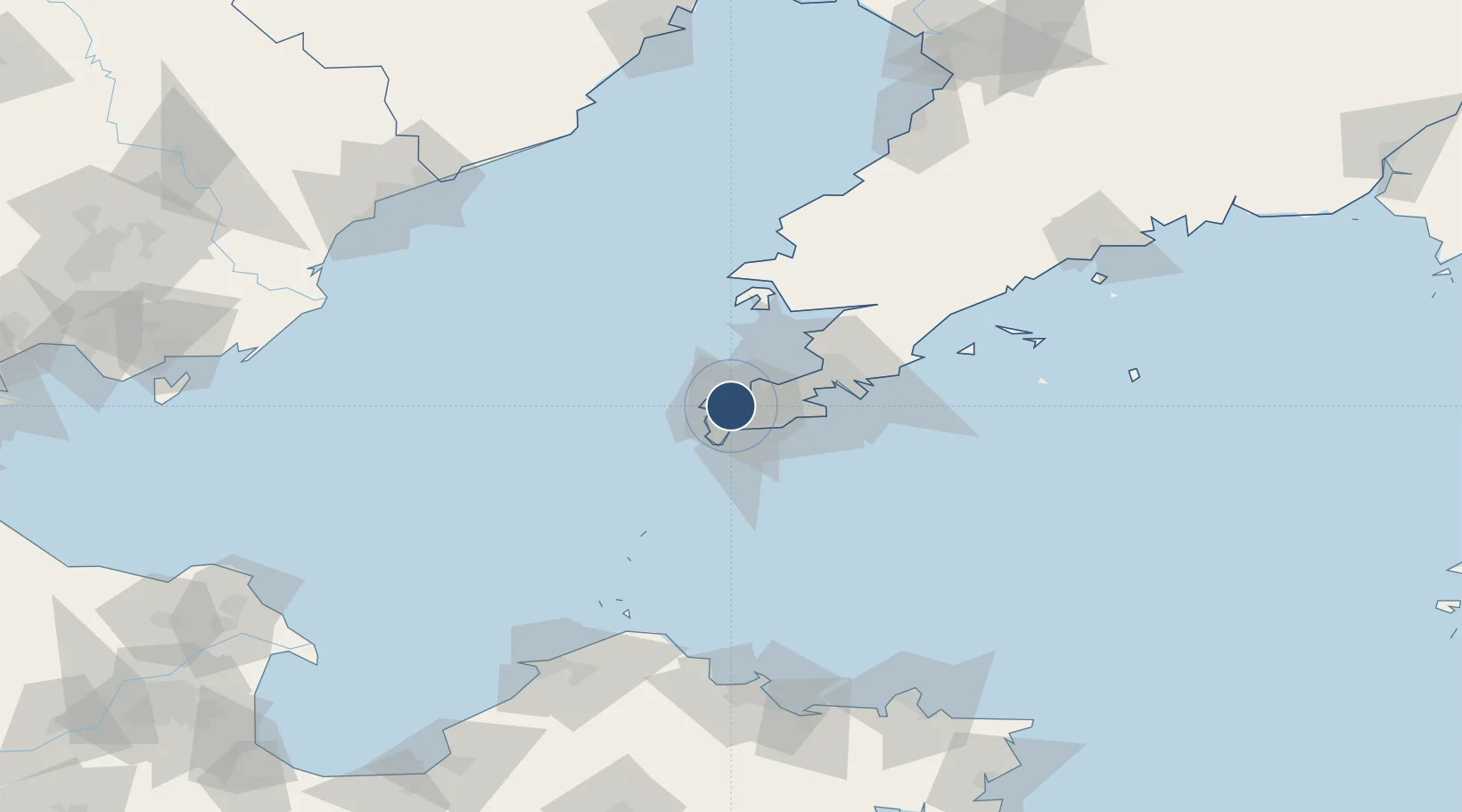
Served city
Dalian (Lüshunkou)
Location
Nearby Logistics Neighbours
Airports
- 1Dalian Zhoushuizi International Airport27 km
- 2Sanshilipu Air Base62 km
- 3Pulandian Air Base90 km
- 4Laohutun Air Base96 km
- 5Changhai Dachangshandao Airport129 km
Cities
- 1Lushun New Pt26 km
- 2Dashihuagang31 km
- 3Dalian56 km
- 4Sikuaishi122 km
- 5Songshu124 km
Ports
- 1Lushun14 km
- 2Dalian37 km
- 3Penglai127 km
- 4Yantai153 km
- 5Longkou Gang165 km
Trade Zones
DatabookThe Record of Consolidated Knowledge
China beyond logistics?