Transport Functions
Port
Road
Multimodal
Hub Profile
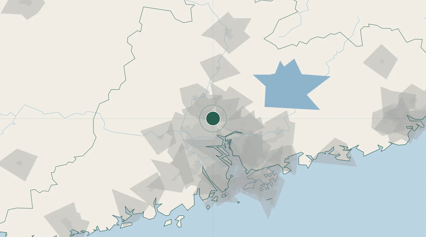
Place type
Populated place
Region
Guangdong
Time zone
Asia/Shanghai
Elevation
12 m
Location
Nearby Logistics Neighbours
Cities
- 1Huadu Pt19 km
- 2Jiao Xin22 km
- 3Sanyuanli/Guangzhou26 km
- 4Guangzhou Pt28 km
- 5Neigang31 km
Ports
- 1Guangzhou30 km
- 2Huangpu33 km
- 3Huangpuxingang39 km
- 4Shekou114 km
- 5Zhuhai129 km
Airports
Trade Zones
- 1Longhu Industrial Park15 km
- 2Baiyun Industrial Park15 km
- 3Huadu Economic Development Zone19 km
- 4Yunpu Industrial Park31 km
- 5Sanshui Industrial Park34 km
DatabookThe Record of Consolidated Knowledge
China beyond logistics?