UN/LOCODE hub · China
CNSNL

Sanyuanli/Guangzhou

23.1500°, 113.2500°
2
Transport functions

Transport Functions

Rail
Road
UN/LOCODE

Hub Profile

Region
GD
GeoNames

Location

Location of CNSNL
Natural Earth 10m (public domain) · GD · CNSNL · 23.15, 113.25GoogleOSMYandex

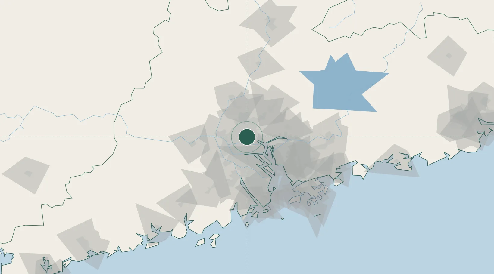
Nearby Logistics Neighbours

Cities
  1. 1Guangzhou Pt3 km
  2. 2Jiao Xin4 km
  3. 3Yanbu10 km
  4. 4Pingzhou13 km
  5. 5Sanshui18 km
Nearest neighbours — logibook spatial index (haversine) over the source coordinates
Ports
  1. 1Guangzhou4 km
  2. 2Huangpu19 km
  3. 3Huangpuxingang28 km
  4. 4Shekou99 km
  5. 5Zhuhai108 km
Nearest neighbours — logibook spatial index (haversine) over the source coordinates
Airports
  1. 1Foshan Shadi Airport20 km
  2. 2Guangzhou Baiyun International Airport27 km
  3. 3Shenzhen Bao'an International Airport80 km
  4. 4Hong Kong International Airport116 km
  5. 5Shek Kong Air Base116 km
Nearest neighbours — logibook spatial index (haversine) over the source coordinates
Trade Zones
  1. 1Longhu Industrial Park13 km
  2. 2Baiyun Industrial Park14 km
  3. 3Fushan Industrial Park22 km
  4. 4Nanhai High-tech Industrial Development Zone22 km
  5. 5Nanhai Economic Development Zone26 km
Nearest neighbours — logibook spatial index (haversine) over the source coordinates
DatabookThe Record of Consolidated Knowledge
China beyond logistics?
Browse databook

All Sources

LocationsUN/LOCODE
UN/LOCODE — free
Portsthe NGA World Port Index
Public domain (US gov)
AirportsOurAirports
Public domain
Trade Zonesthe World Bank SEZ database
CC BY 4.0
Trade ZonesOpen Zone Map
CC BY
← China locations