Diversified Zone · China

Huadu Economic Development Zone Active
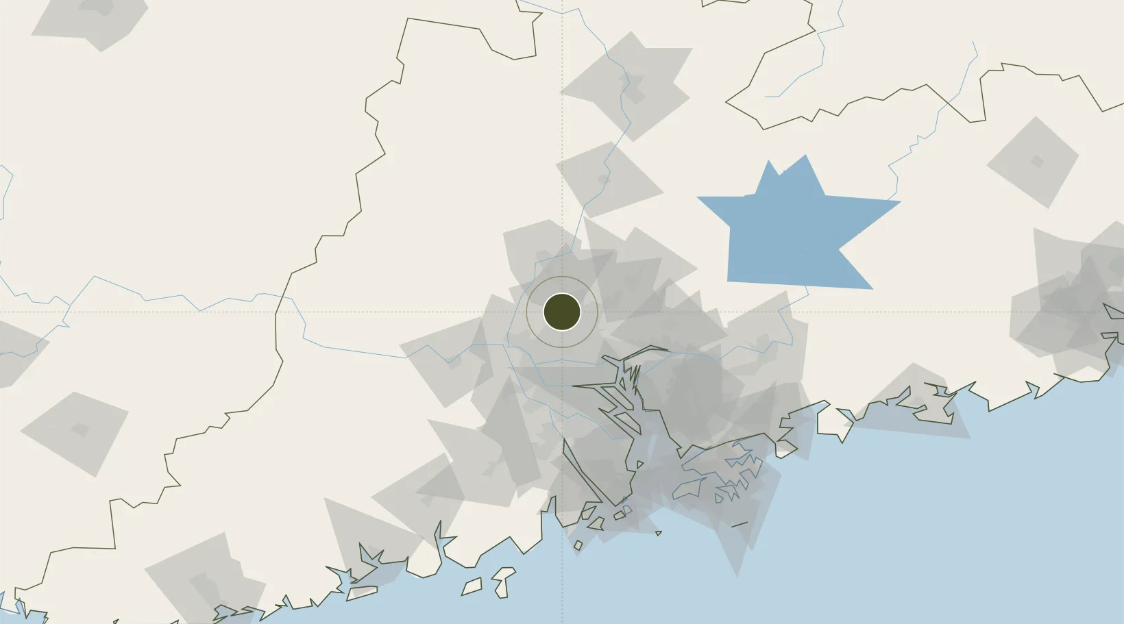
23.3669°, 113.1515°
1,236 ha
Zone area
29.0 km
Nearest port
15.3 km
Nearest airport

Gateway access

Nearest neighbours — logibook spatial index (haversine) over the source coordinates

Zone profile

Zone type
Diversified Zone
Open Zone Map
Region
Guangdong
Open Zone Map
Status
Active
Open Zone Map
Management
Public
Open Zone Map
Operator
Guangzhou Huadu Economic Development Zone Management Committee
Open Zone Map
Legal framework
In December 1992, guangdong Provincial people's Government approved the establishment
Open Zone Map

Location

Location of ozm-734
Natural Earth 10m (public domain) · Guangdong · ozm-734 · 23.37, 113.15GoogleOSMYandex

Nearby Logistics Neighbours

Ports
  1. 1Guangzhou29 km
  2. 2Huangpu42 km
  3. 3Huangpuxingang50 km
  4. 4Shekou124 km
  5. 5Zhuhai134 km
Nearest neighbours — logibook spatial index (haversine) over the source coordinates
Airports
  1. 1Guangzhou Baiyun International Airport15 km
  2. 2Foshan Shadi Airport33 km
  3. 3Shenzhen Bao'an International Airport105 km
  4. 4Shek Kong Air Base141 km
  5. 5Hong Kong International Airport141 km
Nearest neighbours — logibook spatial index (haversine) over the source coordinates
Cities
  1. 1Huadu Pt4 km
  2. 2Zhuliao19 km
  3. 3Jiao Xin23 km
  4. 4Sanyuanli/Guangzhou26 km
  5. 5Guangzhou Pt27 km
Nearest neighbours — logibook spatial index (haversine) over the source coordinates
Trade Zones
  1. 1Baiyun Industrial Park13 km
  2. 2Longhu Industrial Park14 km
  3. 3Sanshui Industrial Park18 km
  4. 4Fushan Industrial Park27 km
  5. 5Nanhai High-tech Industrial Development Zone27 km
Nearest neighbours — logibook spatial index (haversine) over the source coordinates
DatabookThe Record of Consolidated Knowledge
China beyond logistics?
Browse databook

All Sources

Trade ZonesOpen Zone Map
CC BY
Portsthe NGA World Port Index
Public domain (US gov)
AirportsOurAirports
Public domain
LocationsUN/LOCODE
UN/LOCODE — free
← China trade zones