UN/LOCODE hub · China
CNGZG

Guangzhou Pt

23.1333°, 113.2333°
1
Transport functions

Transport Functions

Port
UN/LOCODE

Hub Profile

Region
GD
GeoNames

Location

Location of CNGZG
Natural Earth 10m (public domain) · GD · CNGZG · 23.13, 113.23GoogleOSMYandex

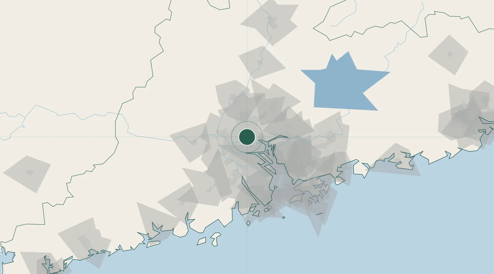
Nearby Logistics Neighbours

Cities
  1. 1Sanyuanli/Guangzhou3 km
  2. 2Jiao Xin6 km
  3. 3Yanbu8 km
  4. 4Pingzhou11 km
  5. 5Sanshui15 km
Nearest neighbours — logibook spatial index (haversine) over the source coordinates
Ports
  1. 1Guangzhou2 km
  2. 2Huangpu20 km
  3. 3Huangpuxingang29 km
  4. 4Shekou99 km
  5. 5Zhuhai106 km
Nearest neighbours — logibook spatial index (haversine) over the source coordinates
Airports
  1. 1Foshan Shadi Airport18 km
  2. 2Guangzhou Baiyun International Airport30 km
  3. 3Shenzhen Bao'an International Airport80 km
  4. 4Hong Kong International Airport115 km
  5. 5Macau International Airport115 km
Nearest neighbours — logibook spatial index (haversine) over the source coordinates
Trade Zones
  1. 1Longhu Industrial Park15 km
  2. 2Baiyun Industrial Park16 km
  3. 3Fushan Industrial Park20 km
  4. 4Nanhai High-tech Industrial Development Zone20 km
  5. 5Nanhai Economic Development Zone25 km
Nearest neighbours — logibook spatial index (haversine) over the source coordinates
DatabookThe Record of Consolidated Knowledge
China beyond logistics?
Browse databook

All Sources

LocationsUN/LOCODE
UN/LOCODE — free
Portsthe NGA World Port Index
Public domain (US gov)
AirportsOurAirports
Public domain
Trade Zonesthe World Bank SEZ database
CC BY 4.0
Trade ZonesOpen Zone Map
CC BY
← China locations