UN/LOCODE hub · China
CNJXN

Jiao Xin

23.1845°, 113.2485°
2
Transport functions

Transport Functions

Port
Road
UN/LOCODE

Hub Profile

Region
GD
GeoNames
Logistics facilities
4
UN/LOCODE

Location

Location of CNJXN
Natural Earth 10m (public domain) · GD · CNJXN · 23.18, 113.25GoogleOSMYandex

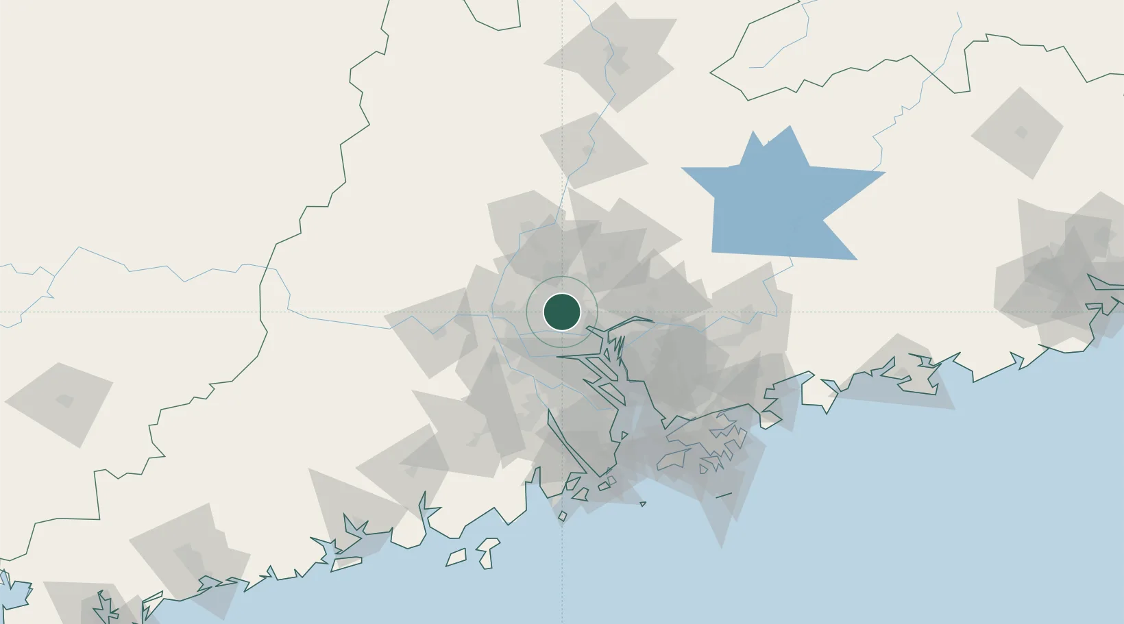
Nearby Logistics Neighbours

Cities
  1. 1Sanyuanli/Guangzhou4 km
  2. 2Guangzhou Pt6 km
  3. 3Yanbu13 km
  4. 4Pingzhou17 km
  5. 5Huadu Pt19 km
Nearest neighbours — logibook spatial index (haversine) over the source coordinates
Ports
  1. 1Guangzhou8 km
  2. 2Huangpu21 km
  3. 3Huangpuxingang30 km
  4. 4Shekou102 km
  5. 5Zhuhai111 km
Nearest neighbours — logibook spatial index (haversine) over the source coordinates
Airports
  1. 1Foshan Shadi Airport21 km
  2. 2Guangzhou Baiyun International Airport24 km
  3. 3Shenzhen Bao'an International Airport83 km
  4. 4Hong Kong International Airport119 km
  5. 5Shek Kong Air Base119 km
Nearest neighbours — logibook spatial index (haversine) over the source coordinates
Trade Zones
  1. 1Longhu Industrial Park9 km
  2. 2Baiyun Industrial Park10 km
  3. 3Fushan Industrial Park22 km
  4. 4Nanhai High-tech Industrial Development Zone22 km
  5. 5Huadu Economic Development Zone23 km
Nearest neighbours — logibook spatial index (haversine) over the source coordinates
DatabookThe Record of Consolidated Knowledge
China beyond logistics?
Browse databook

All Sources

LocationsUN/LOCODE
UN/LOCODE — free
Portsthe NGA World Port Index
Public domain (US gov)
AirportsOurAirports
Public domain
Trade Zonesthe World Bank SEZ database
CC BY 4.0
Trade ZonesOpen Zone Map
CC BY
← China locations