UN/LOCODE hub · China
CNHDG

Huadu Pt

23.3311°, 113.1548°
1
Transport functions

Transport Functions

Port
UN/LOCODE

Hub Profile

Region
GD
GeoNames
Logistics facilities
1
UN/LOCODE

Location

Location of CNHDG
Natural Earth 10m (public domain) · GD · CNHDG · 23.33, 113.15GoogleOSMYandex

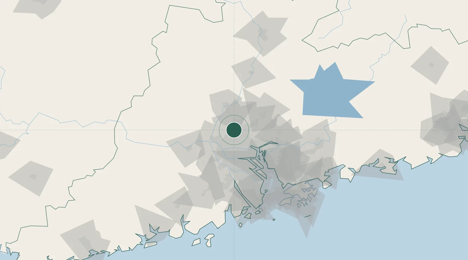
Nearby Logistics Neighbours

Cities
  1. 1Zhuliao19 km
  2. 2Jiao Xin19 km
  3. 3Sanyuanli/Guangzhou22 km
  4. 4Guangzhou Pt23 km
  5. 5Yanbu26 km
Nearest neighbours — logibook spatial index (haversine) over the source coordinates
Ports
  1. 1Guangzhou25 km
  2. 2Huangpu38 km
  3. 3Huangpuxingang47 km
  4. 4Shekou121 km
  5. 5Zhuhai130 km
Nearest neighbours — logibook spatial index (haversine) over the source coordinates
Airports
  1. 1Guangzhou Baiyun International Airport16 km
  2. 2Foshan Shadi Airport29 km
  3. 3Shenzhen Bao'an International Airport102 km
  4. 4Shek Kong Air Base137 km
  5. 5Hong Kong International Airport138 km
Nearest neighbours — logibook spatial index (haversine) over the source coordinates
Trade Zones
  1. 1Huadu Economic Development Zone4 km
  2. 2Baiyun Industrial Park9 km
  3. 3Longhu Industrial Park11 km
  4. 4Sanshui Industrial Park16 km
  5. 5Fushan Industrial Park24 km
Nearest neighbours — logibook spatial index (haversine) over the source coordinates
DatabookThe Record of Consolidated Knowledge
China beyond logistics?
Browse databook

All Sources

LocationsUN/LOCODE
UN/LOCODE — free
Portsthe NGA World Port Index
Public domain (US gov)
AirportsOurAirports
Public domain
Trade Zonesthe World Bank SEZ database
CC BY 4.0
Trade ZonesOpen Zone Map
CC BY
← China locations