Small airport · China

Xinzhou Wutaishan AirportZBXZ
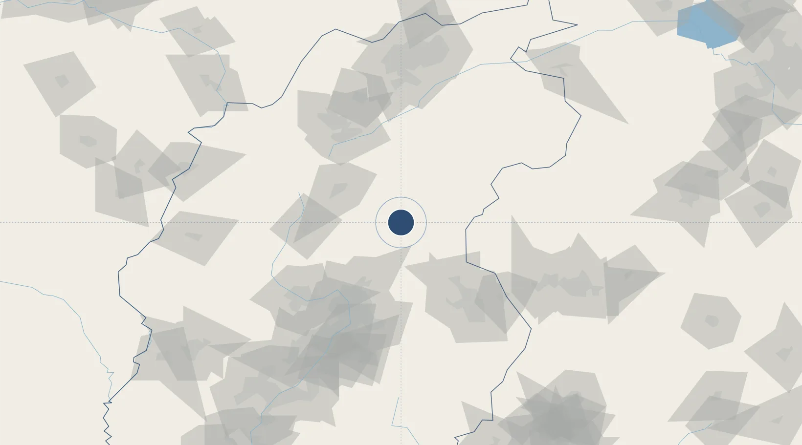
38.5975°, 112.9692°
8,530 ft
Longest runway
1
Runways
2,527 ft
Elevation

Runway & Layout

Xinzhou Wutaishan Airport runway & taxiway layout
Runway & taxiway layout — OpenStreetMap (ODbL) / OurAirports

Runways · 1

RunwayDimensions SurfaceTrue headingLit
08/26 8,530 × —ft
OurAirports

Airport Specifications

IATA code
WUT
OurAirports
ICAO code
ZBXZ
OurAirports
Airport class
Small airport
OurAirports
Scheduled service
Yes
OurAirports
Served city
Xinzhou
OurAirports

Location

Location of ZBXZ
Natural Earth 10m (public domain) · Shanxi · ZBXZ · 38.60, 112.97GoogleOSMYandex

Nearby Logistics Neighbours

Airports
  1. 1Shuozhou Zirun Airport79 km
  2. 2Taiyuan Wusu International Airport99 km
  3. 3Huairen Air Base125 km
  4. 4Shijiazhuang Zhengding International Airport155 km
  5. 5Wenshui Air Base159 km
Nearest neighbours — logibook spatial index (haversine) over the source coordinates
Cities
  1. 1Jinzhong104 km
  2. 2Shijiazhuang148 km
  3. 3Datong169 km
  4. 4Xinji210 km
  5. 5Baoding221 km
Nearest neighbours — logibook spatial index (haversine) over the source coordinates
Ports
  1. 1Tianjin Xin Gang424 km
  2. 2Tangshan (Jingtang)528 km
  3. 3Qinhuangdao591 km
  4. 4Longkou Gang649 km
  5. 5Rizhao686 km
Nearest neighbours — logibook spatial index (haversine) over the source coordinates
Trade Zones
  1. 1Xinzhou Economic Development Zone25 km
  2. 2Yuanping Economic and Technological Development Zone41 km
  3. 3Taiyuan Industrial Park68 km
  4. 4Taiyuan Stainless Steel Industrial Park77 km
  5. 5Yuci Industrial Park106 km
Nearest neighbours — logibook spatial index (haversine) over the source coordinates
DatabookThe Record of Consolidated Knowledge
China beyond logistics?
Browse databook

All Sources

AirportsOurAirports
Public domain
Portsthe NGA World Port Index
Public domain (US gov)
LocationsUN/LOCODE
UN/LOCODE — free
Trade Zonesthe World Bank SEZ database
CC BY 4.0
Trade ZonesOpen Zone Map
CC BY
InfrastructureOpenStreetMap
ODbL 1.0
← China airports