Diversified Zone · China

Xinzhou Economic Development Zone Active
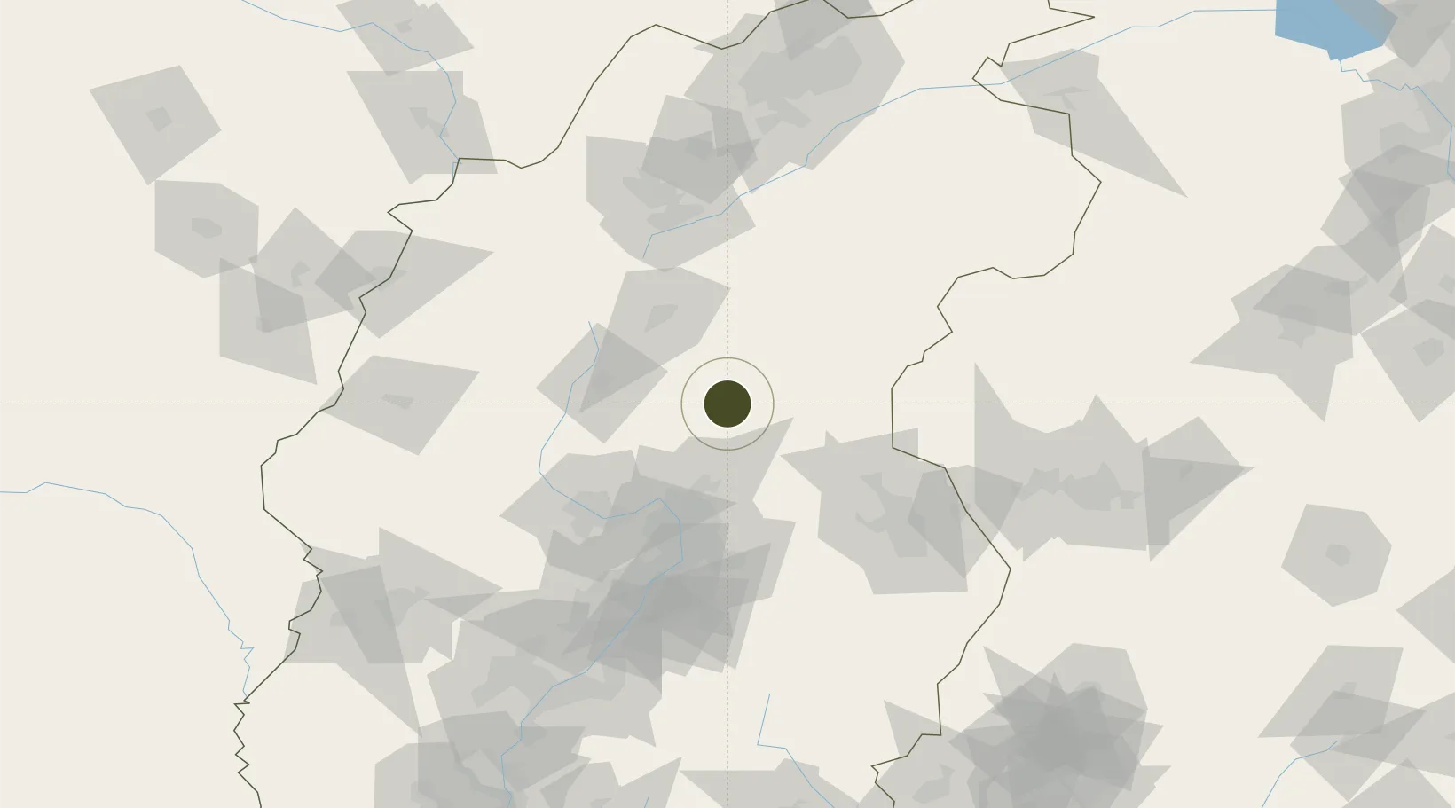
38.4629°, 112.7442°
400 ha
Zone area
445.0 km
Nearest port
24.6 km
Nearest airport

Gateway access

Nearest neighbours — logibook spatial index (haversine) over the source coordinates

Zone profile

Zone type
Diversified Zone
Open Zone Map
Region
Shanxi
Open Zone Map
Status
Active
Open Zone Map
Management
Public
Open Zone Map
Operator
Xinzhou Economic Development Zone Management Committee
Open Zone Map
Legal framework
Construction began in September 1992
Open Zone Map

Location

Location of ozm-455
Natural Earth 10m (public domain) · Shanxi · ozm-455 · 38.46, 112.74GoogleOSMYandex

Nearby Logistics Neighbours

Ports
  1. 1Tianjin Xin Gang445 km
  2. 2Tangshan (Jingtang)549 km
  3. 3Qinhuangdao614 km
  4. 4Longkou Gang666 km
  5. 5Rizhao696 km
Nearest neighbours — logibook spatial index (haversine) over the source coordinates
Airports
  1. 1Xinzhou Wutaishan Airport25 km
  2. 2Taiyuan Wusu International Airport80 km
  3. 3Shuozhou Zirun Airport90 km
  4. 4Wenshui Air Base136 km
  5. 5Huairen Air Base144 km
Nearest neighbours — logibook spatial index (haversine) over the source coordinates
Cities
  1. 1Jinzhong87 km
  2. 2Shijiazhuang161 km
  3. 3Datong188 km
  4. 4Xinji224 km
  5. 5Baoding243 km
Nearest neighbours — logibook spatial index (haversine) over the source coordinates
Trade Zones
  1. 1Taiyuan Industrial Park48 km
  2. 2Yuanping Economic and Technological Development Zone50 km
  3. 3Taiyuan Stainless Steel Industrial Park56 km
  4. 4Yuci Industrial Park88 km
  5. 5Qixian Economic Development Zone118 km
Nearest neighbours — logibook spatial index (haversine) over the source coordinates
DatabookThe Record of Consolidated Knowledge
China beyond logistics?
Browse databook

All Sources

Trade ZonesOpen Zone Map
CC BY
Portsthe NGA World Port Index
Public domain (US gov)
AirportsOurAirports
Public domain
LocationsUN/LOCODE
UN/LOCODE — free
← China trade zones