Transport Functions
Multimodal
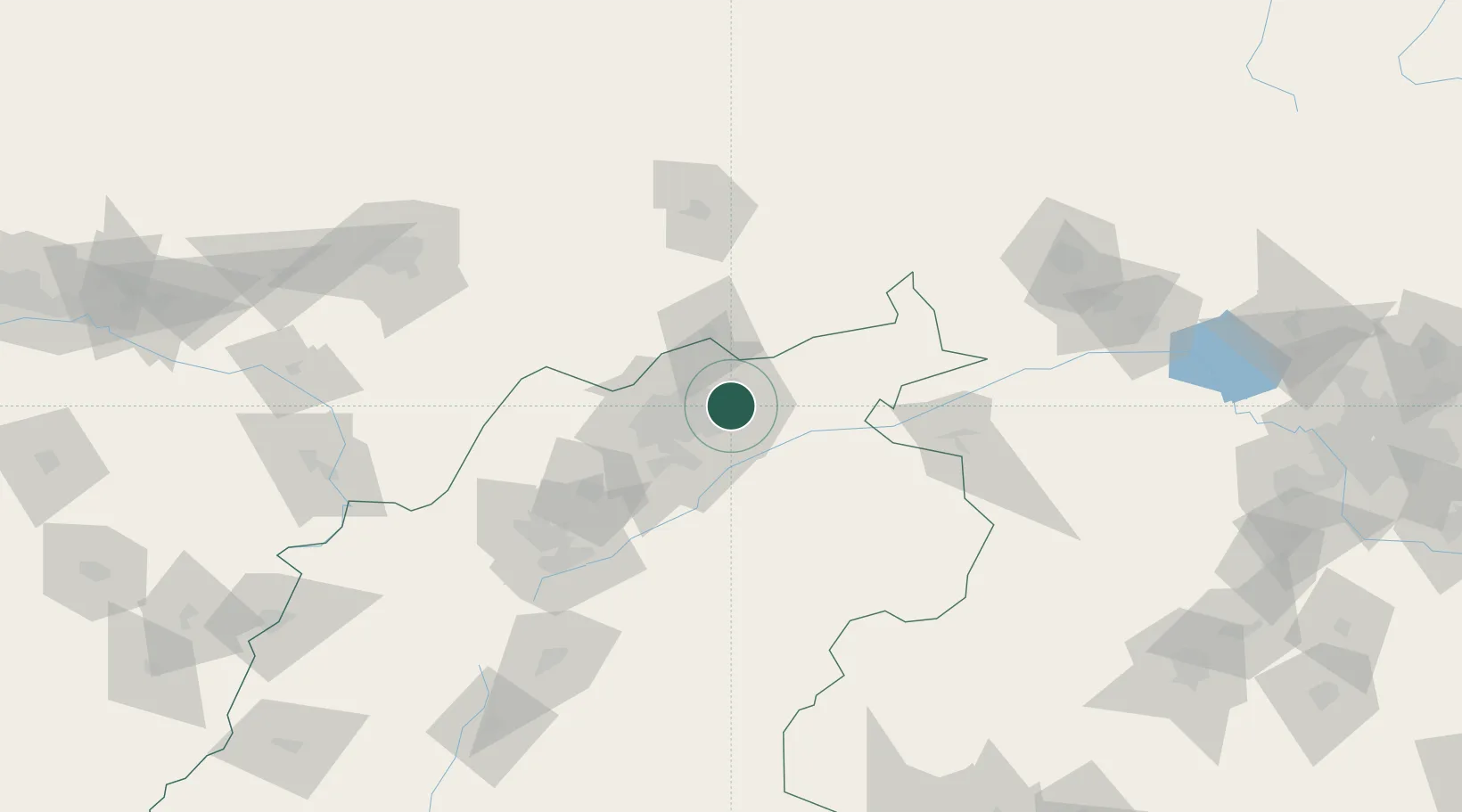
Hub Profile
Place type
Populated place
Region
Shanxi
Population
1,850,000
Time zone
Asia/Shanghai
Elevation
1,054 m
Location
Nearby Logistics Neighbours
Cities
- 1Zhangjiakou156 km
- 2Hohhot156 km
- 3Hebei172 km
- 4Huailai191 km
- 5Longguan207 km
Ports
- 1Tianjin Xin Gang410 km
- 2Tangshan (Jingtang)501 km
- 3Qinhuangdao540 km
- 4Huludao Gang655 km
- 5Longkou Gang665 km
Airports
- 1Datong Yungang International Airport17 km
- 2Huairen Air Base44 km
- 3Shuozhou Zirun Airport105 km
- 4Ulanqab Jining Airport116 km
- 5Hohhot Baita International Airport149 km
DatabookThe Record of Consolidated Knowledge
China beyond logistics?