Medium airport · China

Shuozhou Zirun AirportZBSG
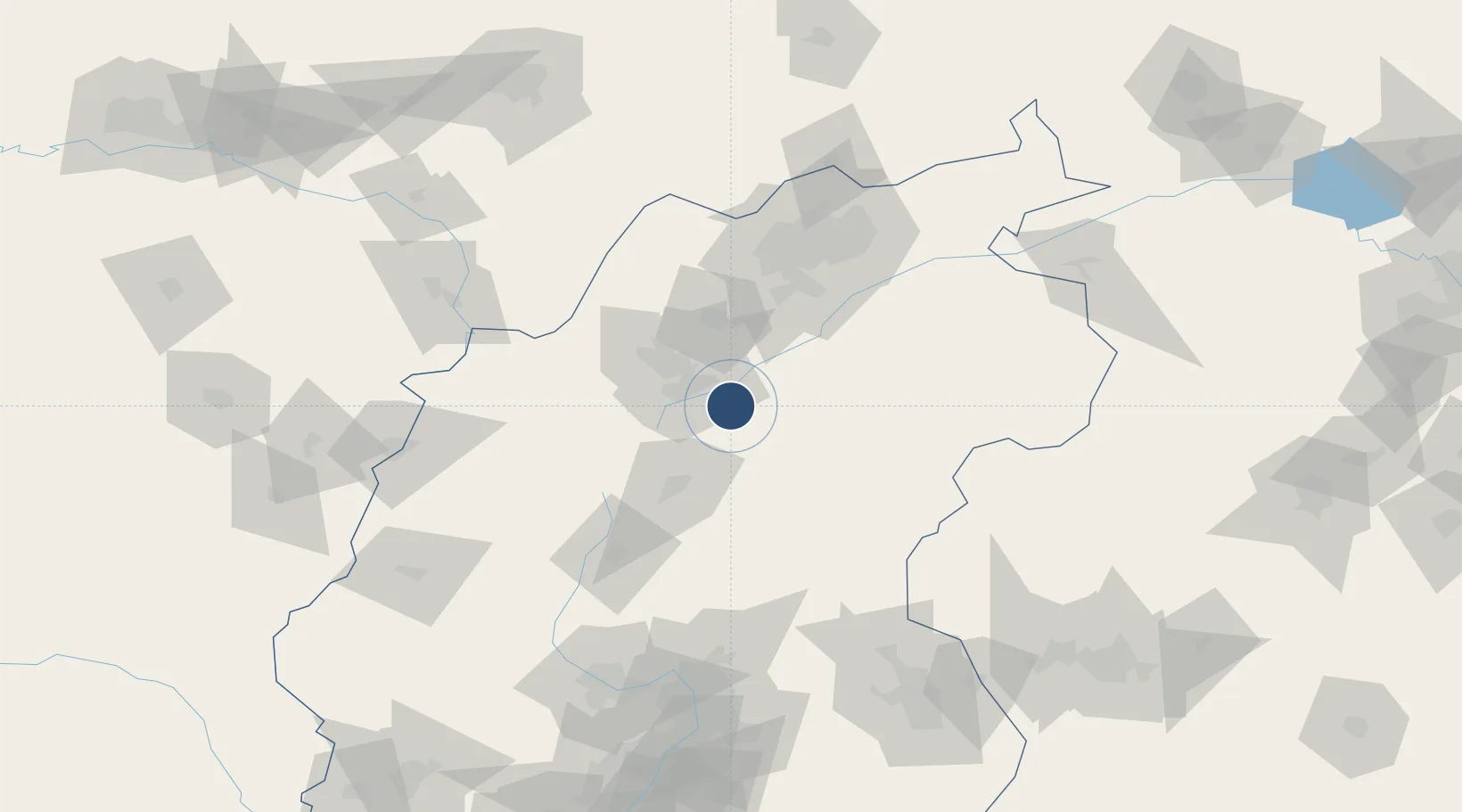
39.2732°, 112.6916°
8,530 ft
Longest runway
1
Runways

Runway & Layout

Shuozhou Zirun Airport runway & taxiway layout
Runway & taxiway layout — OpenStreetMap (ODbL) / OurAirports

Runways · 1

RunwayDimensions SurfaceTrue headingLit
06/24 8,530 × 148ft Concrete 065°
OurAirports

Airport Specifications

IATA code
SZH
OurAirports
ICAO code
ZBSG
OurAirports
Airport class
Medium airport
OurAirports
Scheduled service
Yes
OurAirports
Runway surface
Concrete
OurAirports
Served city
Shuozhou
OurAirports

Location

Location of ZBSG
Natural Earth 10m (public domain) · Shanxi · ZBSG · 39.27, 112.69GoogleOSMYandex

Nearby Logistics Neighbours

Airports
  1. 1Huairen Air Base63 km
  2. 2Xinzhou Wutaishan Airport79 km
  3. 3Datong Yungang International Airport111 km
  4. 4Taiyuan Wusu International Airport170 km
  5. 5Hohhot Baita International Airport190 km
Nearest neighbours — logibook spatial index (haversine) over the source coordinates
Cities
  1. 1Datong105 km
  2. 2Jinzhong177 km
  3. 3Hohhot190 km
  4. 4Shijiazhuang209 km
  5. 5Hebei232 km
Nearest neighbours — logibook spatial index (haversine) over the source coordinates
Ports
  1. 1Tianjin Xin Gang445 km
  2. 2Tangshan (Jingtang)545 km
  3. 3Qinhuangdao598 km
  4. 4Longkou Gang686 km
  5. 5Huludao Gang724 km
Nearest neighbours — logibook spatial index (haversine) over the source coordinates
Trade Zones
  1. 1Yuanping Economic and Technological Development Zone40 km
  2. 2Xinzhou Economic Development Zone90 km
  3. 3Datong Beichuan Industrial Park93 km
  4. 4Taiyuan Industrial Park138 km
  5. 5Taiyuan Stainless Steel Industrial Park144 km
Nearest neighbours — logibook spatial index (haversine) over the source coordinates
DatabookThe Record of Consolidated Knowledge
China beyond logistics?
Browse databook

All Sources

AirportsOurAirports
Public domain
Portsthe NGA World Port Index
Public domain (US gov)
LocationsUN/LOCODE
UN/LOCODE — free
Trade Zonesthe World Bank SEZ database
CC BY 4.0
Trade ZonesOpen Zone Map
CC BY
InfrastructureOpenStreetMap
ODbL 1.0
← China airports