Diversified Zone · China

Taiyuan Industrial Park Active
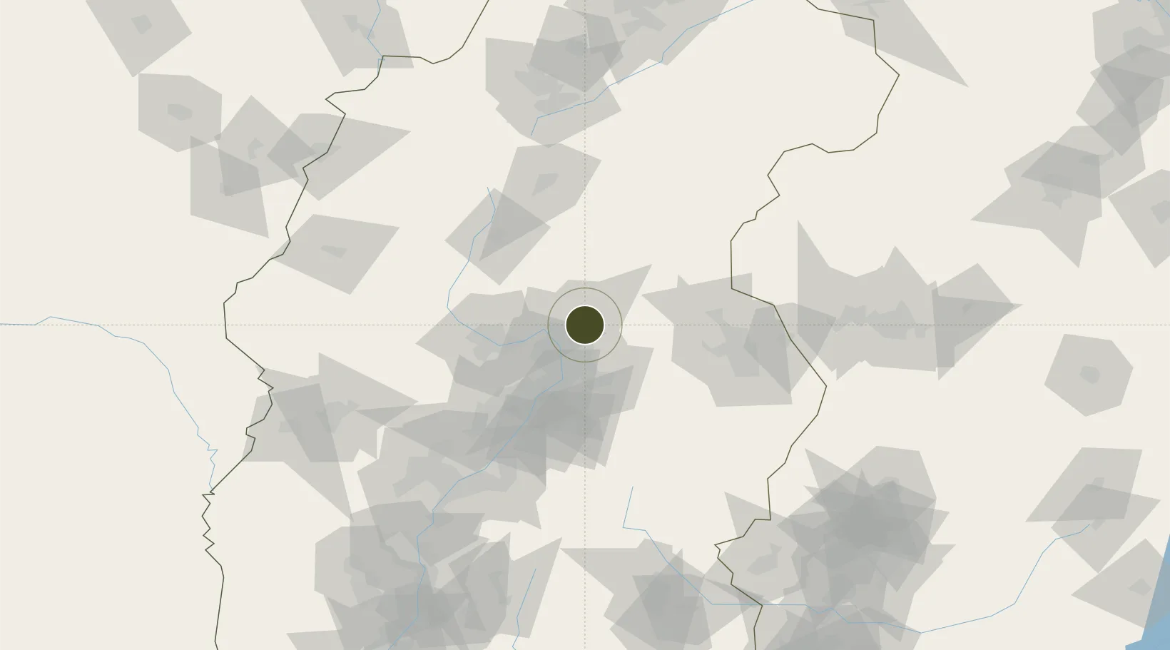
38.0346°, 112.6608°
900 ha
Zone area
461.8 km
Nearest port
32.1 km
Nearest airport

Gateway access

Nearest neighbours — logibook spatial index (haversine) over the source coordinates

Zone profile

Zone type
Diversified Zone
Open Zone Map
Region
Shanxi
Open Zone Map
Status
Active
Open Zone Map
Management
Public
Open Zone Map
Operator
Taiyuan Industrial Park Management Committee
Open Zone Map
Legal framework
Founded in 1995, it was approved as a provincial development zone by Shanxi Provincial government in 1997
Open Zone Map

Location

Location of ozm-644
Natural Earth 10m (public domain) · Shanxi · ozm-644 · 38.03, 112.66GoogleOSMYandex

Nearby Logistics Neighbours

Ports
  1. 1Tianjin Xin Gang462 km
  2. 2Tangshan (Jingtang)567 km
  3. 3Qinhuangdao637 km
  4. 4Longkou Gang671 km
  5. 5Rizhao682 km
Nearest neighbours — logibook spatial index (haversine) over the source coordinates
Airports
  1. 1Taiyuan Wusu International Airport32 km
  2. 2Xinzhou Wutaishan Airport68 km
  3. 3Wenshui Air Base93 km
  4. 4Shuozhou Zirun Airport138 km
  5. 5Lüliang Dawu Airport139 km
Nearest neighbours — logibook spatial index (haversine) over the source coordinates
Cities
  1. 1Jinzhong40 km
  2. 2Shijiazhuang161 km
  3. 3Xinji223 km
  4. 4Datong236 km
  5. 5Linfen240 km
Nearest neighbours — logibook spatial index (haversine) over the source coordinates
Trade Zones
  1. 1Taiyuan Stainless Steel Industrial Park9 km
  2. 2Yuci Industrial Park40 km
  3. 3Xinzhou Economic Development Zone48 km
  4. 4Qixian Economic Development Zone70 km
  5. 5Wenshui Economic Development Zone93 km
Nearest neighbours — logibook spatial index (haversine) over the source coordinates
DatabookThe Record of Consolidated Knowledge
China beyond logistics?
Browse databook

All Sources

Trade ZonesOpen Zone Map
CC BY
Portsthe NGA World Port Index
Public domain (US gov)
AirportsOurAirports
Public domain
LocationsUN/LOCODE
UN/LOCODE — free
← China trade zones