Large airport · China

Taiyuan Wusu International AirportZBYN
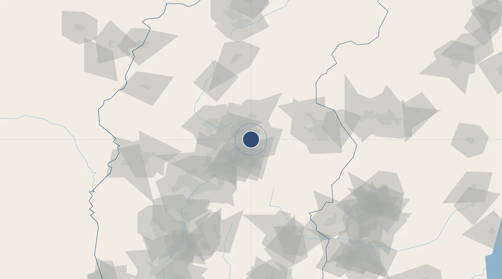
37.7469°, 112.6280°
10,500 ft
Longest runway
1
Runways
2,575 ft
Elevation

Runway & Layout

Taiyuan Wusu International Airport runway & taxiway layout
Runway & taxiway layout — OpenStreetMap (ODbL) / OurAirports

Radio Frequencies

TWR
118.25 MHz
TAIYUAN TWR
OurAirports

Navaids

LO NDB Wolong 210 kHz
TYN VOR-DME Taiyuan 113.10 MHz
WD NDB Zhonghao 439 kHz
OurAirports

Runways · 1

RunwayDimensions SurfaceTrue headingLit
13/31 10,500 × 148ft Concrete 127°
OurAirports

Airport Specifications

IATA code
TYN
OurAirports
ICAO code
ZBYN
OurAirports
Airport class
Large airport
OurAirports
Scheduled service
Yes
OurAirports
Runway surface
Concrete
OurAirports
Served city
Taiyuan
OurAirports

Location

Location of ZBYN
Natural Earth 10m (public domain) · Shanxi · ZBYN · 37.75, 112.63GoogleOSMYandex

Nearby Logistics Neighbours

Airports
  1. 1Wenshui Air Base70 km
  2. 2Xinzhou Wutaishan Airport99 km
  3. 3Lüliang Dawu Airport131 km
  4. 4Shuozhou Zirun Airport170 km
  5. 5Changzhi Wangcun Airport173 km
Nearest neighbours — logibook spatial index (haversine) over the source coordinates
Cities
  1. 1Jinzhong12 km
  2. 2Shijiazhuang167 km
  3. 3Linfen210 km
  4. 4Xinji227 km
  5. 5Jincheng252 km
Nearest neighbours — logibook spatial index (haversine) over the source coordinates
Ports
  1. 1Tianjin Xin Gang474 km
  2. 2Tangshan (Jingtang)579 km
  3. 3Qinhuangdao652 km
  4. 4Lanshan672 km
  5. 5Rizhao673 km
Nearest neighbours — logibook spatial index (haversine) over the source coordinates
Trade Zones
  1. 1Yuci Industrial Park10 km
  2. 2Taiyuan Stainless Steel Industrial Park26 km
  3. 3Taiyuan Industrial Park32 km
  4. 4Qixian Economic Development Zone39 km
  5. 5Wenshui Economic Development Zone68 km
Nearest neighbours — logibook spatial index (haversine) over the source coordinates
DatabookThe Record of Consolidated Knowledge
China beyond logistics?
Browse databook

All Sources

AirportsOurAirports
Public domain
Portsthe NGA World Port Index
Public domain (US gov)
LocationsUN/LOCODE
UN/LOCODE — free
Trade Zonesthe World Bank SEZ database
CC BY 4.0
Trade ZonesOpen Zone Map
CC BY
InfrastructureOpenStreetMap
ODbL 1.0
← China airports