Runway & Layout

Airport Specifications
Airport class
Medium airport
Scheduled service
No
Served city
Shuozhou
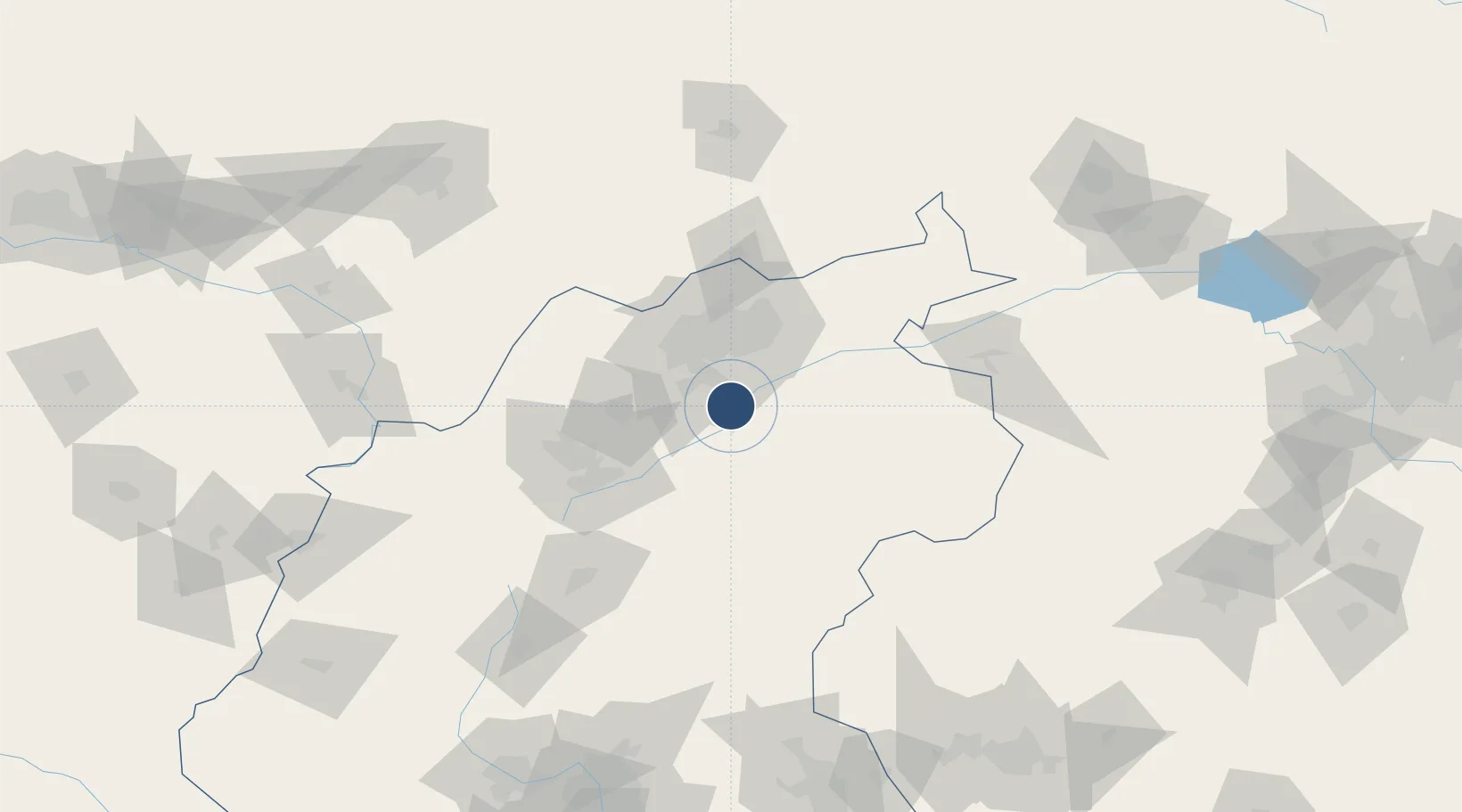
Location
Nearby Logistics Neighbours
Airports
Cities
- 1Datong44 km
- 2Hohhot173 km
- 3Hebei184 km
- 4Zhangjiakou191 km
- 5Huailai213 km
Ports
- 1Tianjin Xin Gang412 km
- 2Tangshan (Jingtang)507 km
- 3Qinhuangdao553 km
- 4Longkou Gang662 km
- 5Huludao Gang675 km
DatabookThe Record of Consolidated Knowledge
China beyond logistics?