Runway & Layout

Airport Specifications
Airport class
Medium airport
Scheduled service
No
Served city
Lüliang
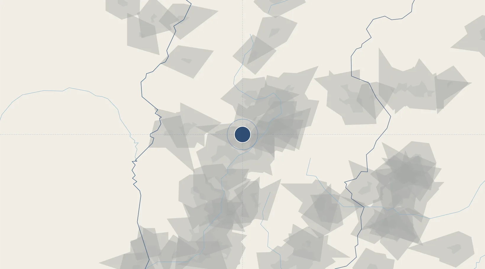
Location
Nearby Logistics Neighbours
Airports
- 1Taiyuan Wusu International Airport70 km
- 2Lüliang Dawu Airport79 km
- 3Linfen Yaodu Airport145 km
- 4Xinzhou Wutaishan Airport159 km
- 5Changzhi Wangcun Airport165 km
Cities
- 1Jinzhong74 km
- 2Linfen153 km
- 3Houma207 km
- 4Jincheng228 km
- 5Shijiazhuang234 km
Ports
- 1Tianjin Xin Gang541 km
- 2Tangshan (Jingtang)647 km
- 3Lanshan712 km
- 4Rizhao716 km
- 5Qinhuangdao721 km
DatabookThe Record of Consolidated Knowledge
China beyond logistics?