Export Processing Zone · China

Yuci Industrial Park Active
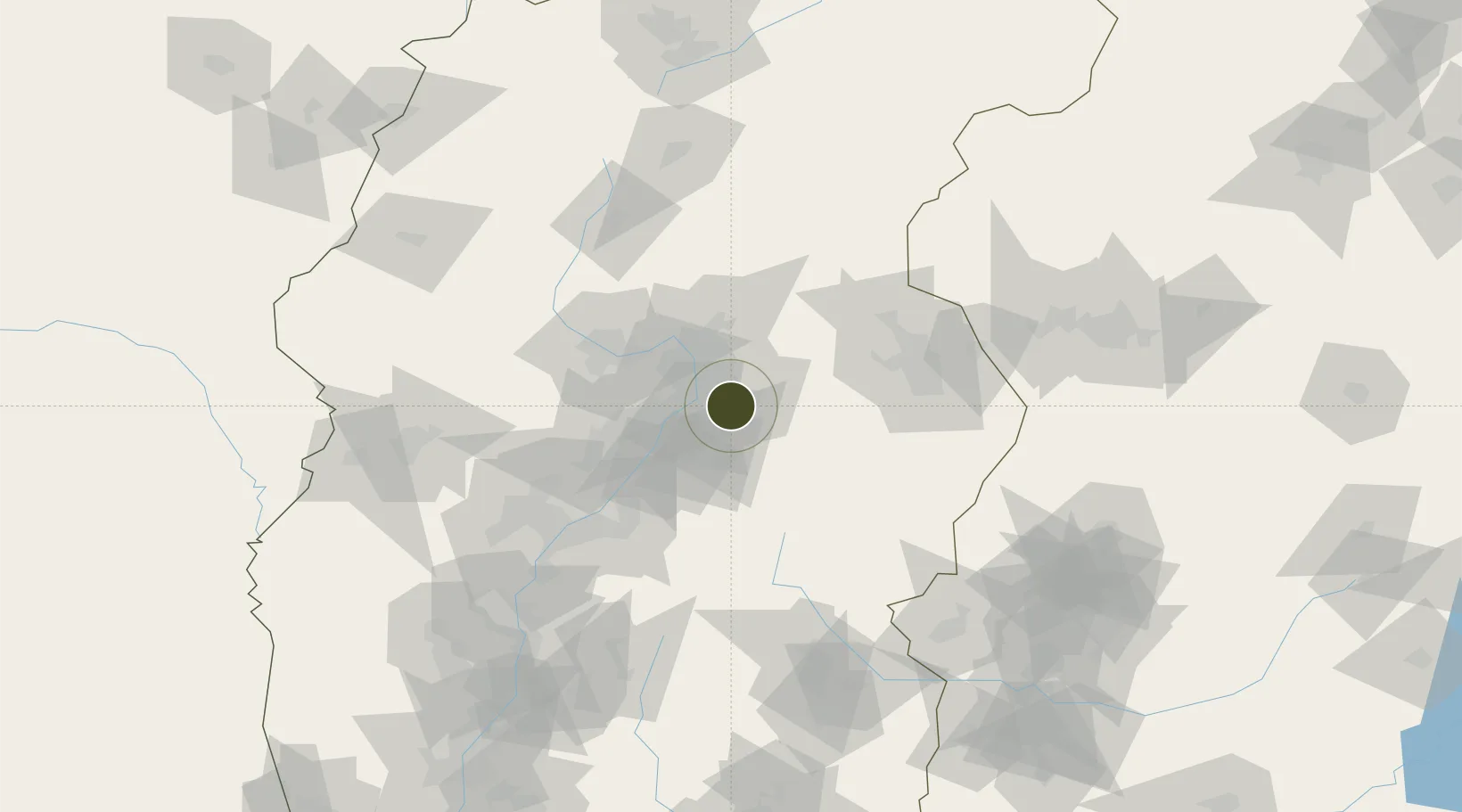
37.6747°, 112.6893°
199 ha
Zone area
471.1 km
Nearest port
9.7 km
Nearest airport

Gateway access

Nearest neighbours — logibook spatial index (haversine) over the source coordinates

Zone profile

Zone type
Export Processing Zone
Open Zone Map
Region
Shanxi
Open Zone Map
Status
Active
Open Zone Map
Management
Public
Open Zone Map
Operator
Yuci Industrial Park Management Committee
Open Zone Map
Legal framework
July 1, 2002 Start construction
Open Zone Map

Location

Location of ozm-1058
Natural Earth 10m (public domain) · Shanxi · ozm-1058 · 37.67, 112.69GoogleOSMYandex

Nearby Logistics Neighbours

Ports
  1. 1Tianjin Xin Gang471 km
  2. 2Tangshan (Jingtang)577 km
  3. 3Qinhuangdao651 km
  4. 4Lanshan664 km
  5. 5Rizhao665 km
Nearest neighbours — logibook spatial index (haversine) over the source coordinates
Airports
  1. 1Taiyuan Wusu International Airport10 km
  2. 2Wenshui Air Base70 km
  3. 3Xinzhou Wutaishan Airport106 km
  4. 4Lüliang Dawu Airport136 km
  5. 5Changzhi Wangcun Airport163 km
Nearest neighbours — logibook spatial index (haversine) over the source coordinates
Cities
  1. 1Jinzhong4 km
  2. 2Shijiazhuang164 km
  3. 3Linfen205 km
  4. 4Xinji222 km
  5. 5Jincheng244 km
Nearest neighbours — logibook spatial index (haversine) over the source coordinates
Trade Zones
  1. 1Qixian Economic Development Zone35 km
  2. 2Taiyuan Stainless Steel Industrial Park35 km
  3. 3Taiyuan Industrial Park40 km
  4. 4Wenshui Economic Development Zone68 km
  5. 5Xinghua Village Economic and Technological Development Zone77 km
Nearest neighbours — logibook spatial index (haversine) over the source coordinates
DatabookThe Record of Consolidated Knowledge
China beyond logistics?
Browse databook

All Sources

Trade ZonesOpen Zone Map
CC BY
Portsthe NGA World Port Index
Public domain (US gov)
AirportsOurAirports
Public domain
LocationsUN/LOCODE
UN/LOCODE — free
← China trade zones