Large airport · China

Hohhot Baita International AirportZBHH
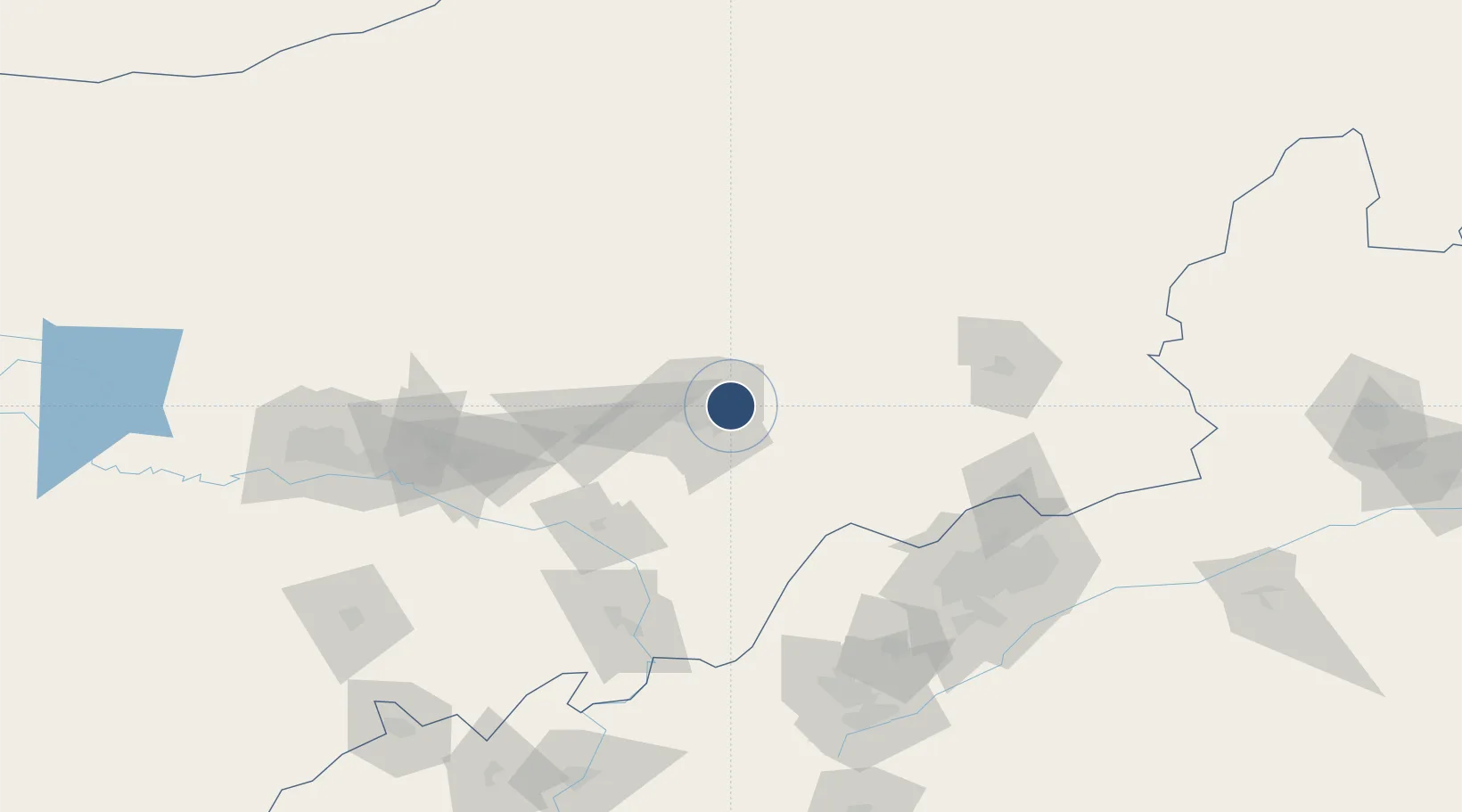
40.8497°, 111.8246°
11,811 ft
Longest runway
1
Runways
3,556 ft
Elevation

Runway & Layout

Hohhot Baita International Airport runway & taxiway layout
Runway & taxiway layout — OpenStreetMap (ODbL) / OurAirports

Radio Frequencies

ATIS
126.25 MHz
TWR
118.1 MHz
HOHHOT TWR
GND
121.65 MHz
HOHHOT GND
OurAirports

Navaids

KJ NDB Hohhot 434 kHz
OurAirports

Runways · 1

RunwayDimensions SurfaceTrue headingLit
08/26 11,811 × 148ft Concrete 072°
OurAirports

Airport Specifications

IATA code
HET
OurAirports
ICAO code
ZBHH
OurAirports
Airport class
Large airport
OurAirports
Scheduled service
Yes
OurAirports
Runway surface
Concrete
OurAirports
Served city
Hohhot
OurAirports

Location

Location of ZBHH
Natural Earth 10m (public domain) · Inner Mongol · ZBHH · 40.85, 111.82GoogleOSMYandex

Nearby Logistics Neighbours

Airports
  1. 1Hohhot Bikeqi Air Base52 km
  2. 2Ulanqab Jining Airport112 km
  3. 3Baotou Donghe International Airport157 km
  4. 4Datong Yungang International Airport165 km
  5. 5Huairen Air Base168 km
Nearest neighbours — logibook spatial index (haversine) over the source coordinates
Cities
  1. 1Hohhot13 km
  2. 2Datong149 km
  3. 3Baotou156 km
  4. 4Bayan Obo186 km
  5. 5Zhangjiakou256 km
Nearest neighbours — logibook spatial index (haversine) over the source coordinates
Ports
  1. 1Tianjin Xin Gang554 km
  2. 2Tangshan (Jingtang)639 km
  3. 3Qinhuangdao668 km
  4. 4Huludao Gang771 km
  5. 5Jinzhou Wan781 km
Nearest neighbours — logibook spatial index (haversine) over the source coordinates
Trade Zones
  1. 1Hongsheng Industrial Park4 km
  2. 2Jinqiao Economic Development Zone11 km
  3. 3Jinhai Industrial Park18 km
  4. 4Wuchuan Economic Development Zone35 km
  5. 5New Industrial Park of Tuyou Banner, Baotou City104 km
Nearest neighbours — logibook spatial index (haversine) over the source coordinates
DatabookThe Record of Consolidated Knowledge
China beyond logistics?
Browse databook

All Sources

AirportsOurAirports
Public domain
Portsthe NGA World Port Index
Public domain (US gov)
LocationsUN/LOCODE
UN/LOCODE — free
Trade Zonesthe World Bank SEZ database
CC BY 4.0
Trade ZonesOpen Zone Map
CC BY
InfrastructureOpenStreetMap
ODbL 1.0
← China airports