Large airport · China

Datong Yungang International AirportZBDT
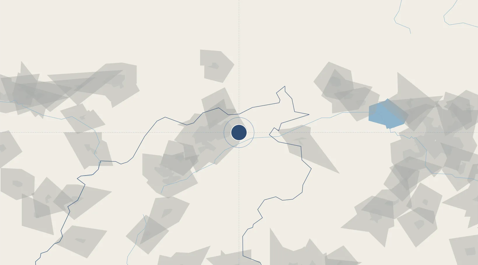
40.0614°, 113.4805°
9,843 ft
Longest runway
1
Runways
3,442 ft
Elevation

Runway & Layout

Datong Yungang International Airport runway & taxiway layout
Runway & taxiway layout — OpenStreetMap (ODbL) / OurAirports

Runways · 1

RunwayDimensions SurfaceTrue headingLit
14/32 9,843 × —ft Concrete
OurAirports

Airport Specifications

IATA code
DAT
OurAirports
ICAO code
ZBDT
OurAirports
Airport class
Large airport
OurAirports
Scheduled service
Yes
OurAirports
Runway surface
Concrete
OurAirports
Served city
Datong
OurAirports

Location

Location of ZBDT
Natural Earth 10m (public domain) · Shanxi · ZBDT · 40.06, 113.48GoogleOSMYandex

Nearby Logistics Neighbours

Airports
  1. 1Huairen Air Base48 km
  2. 2Shuozhou Zirun Airport111 km
  3. 3Ulanqab Jining Airport123 km
  4. 4Zhangjiakou Ningyuan Airport144 km
  5. 5Hohhot Baita International Airport165 km
Nearest neighbours — logibook spatial index (haversine) over the source coordinates
Cities
  1. 1Datong17 km
  2. 2Zhangjiakou144 km
  3. 3Hebei155 km
  4. 4Hohhot173 km
  5. 5Huailai175 km
Nearest neighbours — logibook spatial index (haversine) over the source coordinates
Ports
  1. 1Tianjin Xin Gang393 km
  2. 2Tangshan (Jingtang)484 km
  3. 3Qinhuangdao523 km
  4. 4Huludao Gang639 km
  5. 5Longkou Gang648 km
Nearest neighbours — logibook spatial index (haversine) over the source coordinates
Trade Zones
  1. 1Datong Beichuan Industrial Park44 km
  2. 2Wei County High-tech Industrial Development Zone99 km
  3. 3Chahar Industrial Park102 km
  4. 4Laiyuan Economic Development Zone131 km
  5. 5Zhangjiakou High-tech Industrial Development Zone142 km
Nearest neighbours — logibook spatial index (haversine) over the source coordinates
DatabookThe Record of Consolidated Knowledge
China beyond logistics?
Browse databook

All Sources

AirportsOurAirports
Public domain
Portsthe NGA World Port Index
Public domain (US gov)
LocationsUN/LOCODE
UN/LOCODE — free
Trade Zonesthe World Bank SEZ database
CC BY 4.0
Trade ZonesOpen Zone Map
CC BY
InfrastructureOpenStreetMap
ODbL 1.0
← China airports