Transport Functions
Port
Road
Hub Profile
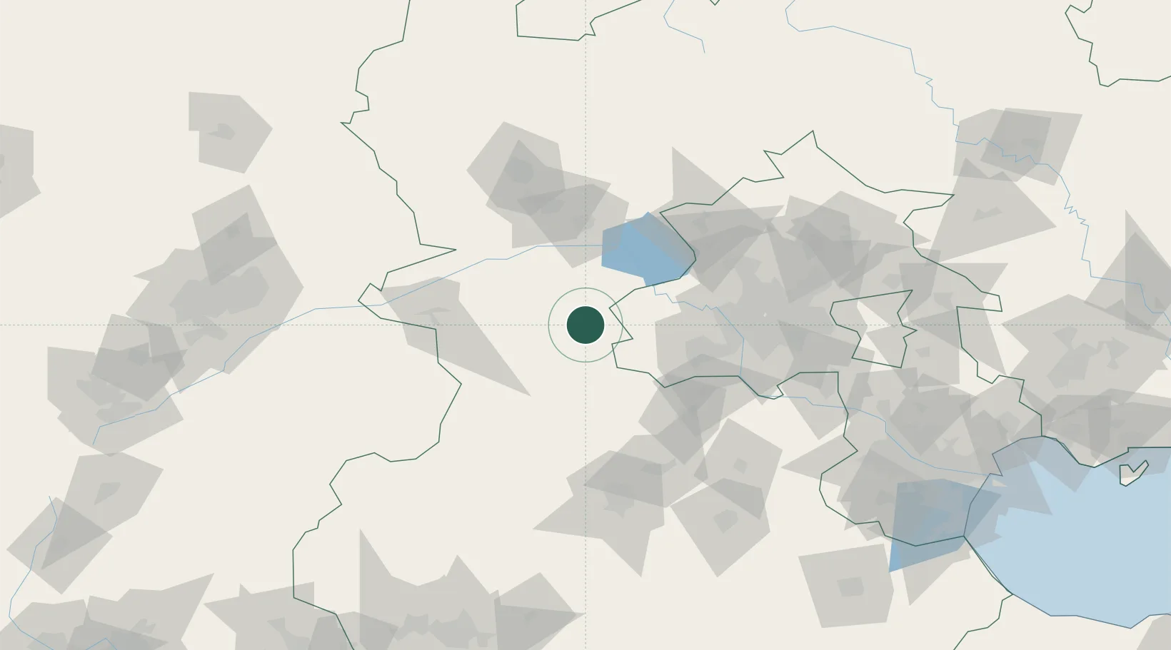
Place type
Populated place
Region
Hebei
Time zone
Asia/Shanghai
Elevation
685 m
Location
Nearby Logistics Neighbours
Ports
- 1Tianjin Xin Gang242 km
- 2Tangshan (Jingtang)329 km
- 3Qinhuangdao370 km
- 4Huludao Gang492 km
- 5Longkou Gang500 km
Airports
- 1Liangxiangzhen Air Base73 km
- 2Beijing Xijiao Airport83 km
- 3Beijing Xijiao Airport83 km
- 4Beijing Shahezhen Air Base93 km
- 5Yongning Air Base98 km
DatabookThe Record of Consolidated Knowledge
China beyond logistics?