Runway & Layout

Airport Specifications
Airport class
Medium airport
Scheduled service
No
Served city
Hohhot
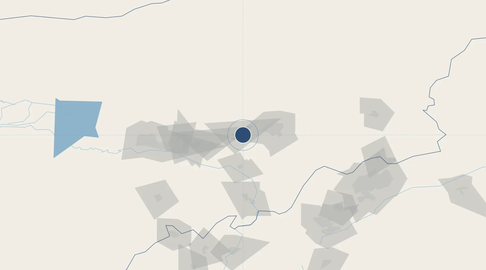
Location
Nearby Logistics Neighbours
Airports
Cities
- 1Hohhot39 km
- 2Baotou105 km
- 3Bayan Obo156 km
- 4Datong188 km
- 5Zhangjiakou306 km
Ports
- 1Tianjin Xin Gang597 km
- 2Tangshan (Jingtang)685 km
- 3Qinhuangdao716 km
- 4Huludao Gang822 km
- 5Jinzhou Wan831 km
Trade Zones
DatabookThe Record of Consolidated Knowledge
China beyond logistics?