Medium airport · Australia
Telfer AirportYTEF
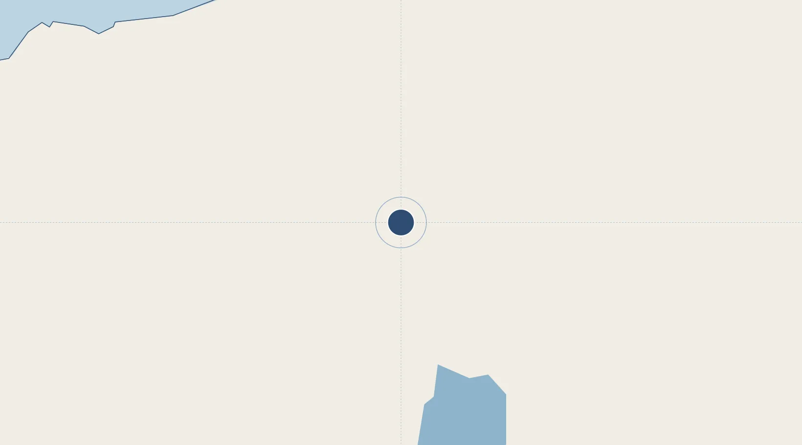
-21.7150°, 122.2290°
6,562 ft
Longest runway
1
Runways
970 ft
Elevation
Runway & Layout

Radio Frequencies
CTAF
126.7 MHz
FSS
123.4 MHz
MELBOURNE CNTR
UNIC
126.7 MHz
UNICOM
Navaids
TEF NDB Telfer 374 kHz
Runways · 1
| Runway | Dimensions | Surface | True heading | Lit |
|---|---|---|---|---|
| 12/30 | 6,562 × 98ft | Asphalt | 121° | ✓ |
Airport Specifications
IATA code
TEF
ICAO code
YTEF
Airport class
Medium airport
Scheduled service
No
Runway surface
Asphalt
Location
Nearby Logistics Neighbours
Airports
- 1Christmas Creek Airport276 km
- 2Newman Airport313 km
- 3Port Hedland International Airport402 km
- 4Broome International Airport419 km
- 5Paraburdoo Airport488 km
Cities
- 1Port Hedland405 km
- 2Withnell Bay579 km
- 3Cockatoo Island641 km
- 4Cossack Pioneer (oil Terminal)646 km
- 5Airlie Terminal732 km
Ports
- 1Port Hedland409 km
- 2Broome417 km
- 3Port Walcott536 km
- 4Dampier584 km
- 5Onslow737 km
Trade Zones
- 1Oecusse Ambeno Enclave Special Zone For Social Market Economy (Zeesm)1395 km
- 2Atauro Special Economic Zone1543 km
- 3KEK Mandalika1560 km
- 4KEK Singhasari1850 km
- 5Pasuruan Industrial Estate Rembang1865 km
DatabookThe Record of Consolidated Knowledge
Australia beyond logistics?