UN/LOCODE hub · Australia
AUPHE
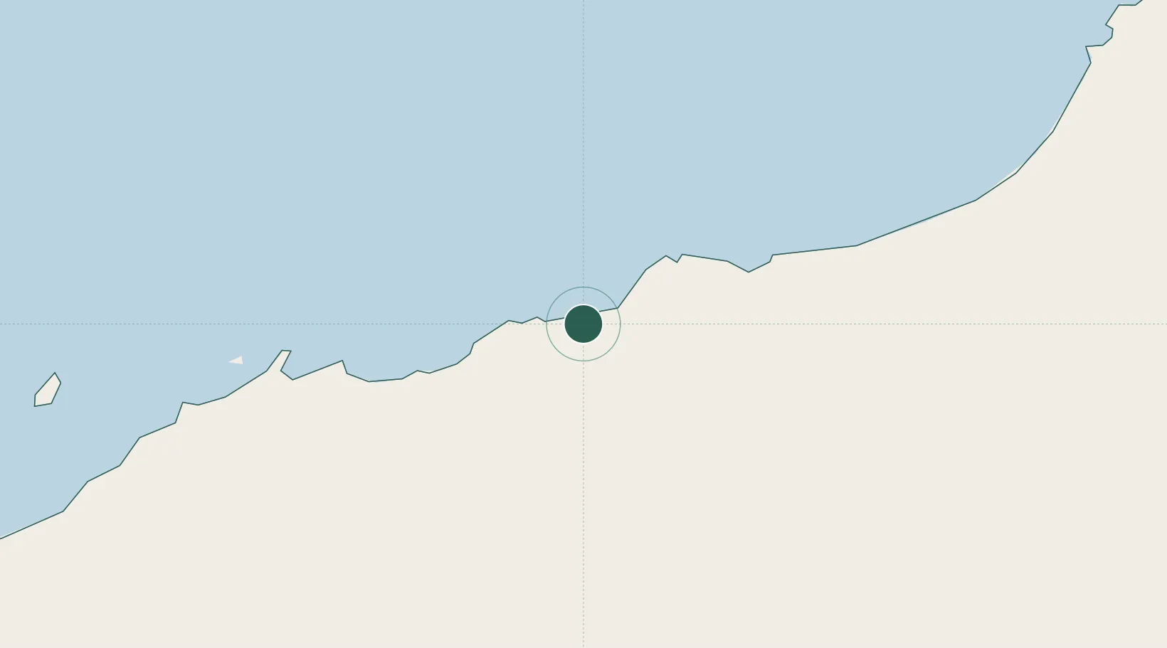
Port Hedland
-20.3771°, 118.5997°
15,298
Population
2
Transport functions
Transport Functions
Port
Airport
Hub Profile
Place type
Populated place
Region
Western Australia
Population
15,298
Time zone
Australia/Perth
Elevation
5 m
Logistics facilities
1
Location
Nearby Logistics Neighbours
Cities
- 1Withnell Bay191 km
- 2Cossack Pioneer (oil Terminal)241 km
- 3Airlie Terminal372 km
- 4Onslow390 km
- 5Thevenard Island394 km
Ports
- 1Port Walcott151 km
- 2Dampier198 km
- 3Onslow390 km
- 4Broome466 km
- 5Cape Cuvier686 km
Airports
- 1Port Hedland International Airport3 km
- 2Karratha Airport194 km
- 3Christmas Creek Airport245 km
- 4Eliwana289 km
- 5Paraburdoo Airport323 km
Trade Zones
- 1KEK Mandalika1300 km
- 2Oecusse Ambeno Enclave Special Zone For Social Market Economy (Zeesm)1372 km
- 3KEK Singhasari1530 km
- 4Atauro Special Economic Zone1547 km
- 5Pasuruan Industrial Estate Rembang1550 km
DatabookThe Record of Consolidated Knowledge
Australia beyond logistics?