Seaport · Australia
DampierAUDAM
-20.6333°, 116.7167°
11.0 m
Channel depth
24.3
Port liner connectivity
Channel & Berth Profile
Pilotage, Tugs & Services
Pilotage compulsoryYES
Pilotage availableYES
Pilotage advisableYES
Tug assistanceYES
Salvage tugsYES
Shore powerYES
Potable waterYES
Diesel bunkersYES
MedicalYES
Garbage disposalYES
Facilities & Capabilities
ContainerYES
Ro-RoYES
Liquid bulkYES
Dry bulkYES
Oil terminal—
Break bulkYES
Dry dock—
RepairsNO
BunkeringYES
Rail link—
Dangerous cargo—
ISPS security—
Harbour Specifications
Harbour size
Medium
Harbour type
Coastal (Breakwater)
Shelter
Fair
Water body
Indian Ocean
Tidal range
4.4 m
Pilotage
Yes
Liner Connectivity
24.3
PLSCI
Port Liner Shipping Connectivity Index for Dampier, as published by UNCTAD for the latest available quarter. Higher values indicate stronger scheduled liner-shipping integration.
Shown relative to the highest per-port PLSCI in the dataset (1,657.9).
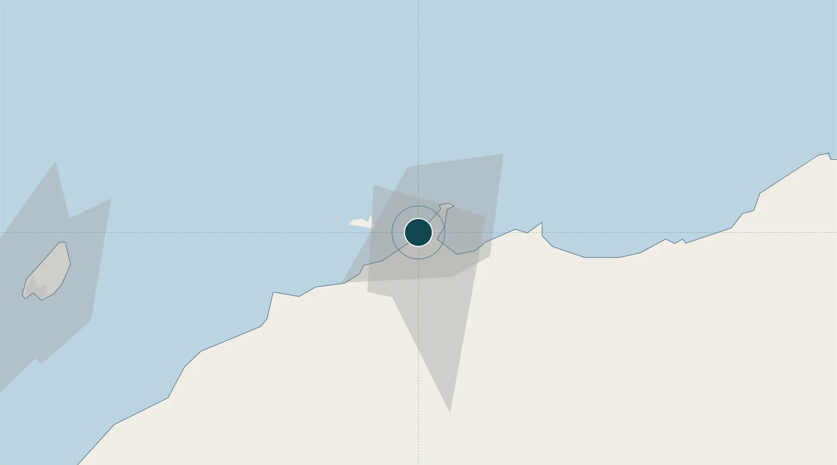
Location
Nearby Logistics Neighbours
Ports
- 1Port Walcott49 km
- 2Port Hedland198 km
- 3Onslow202 km
- 4Cape Cuvier525 km
- 5Broome650 km
Cities
- 1Withnell Bay9 km
- 2Cossack Pioneer (oil Terminal)120 km
- 3Airlie Terminal179 km
- 4Woollybutt (Oil facility)198 km
- 5Port Hedland198 km
Airports
- 1Karratha Airport11 km
- 2Eliwana200 km
- 3Port Hedland International Airport201 km
- 4Paraburdoo Airport302 km
- 5Learmonth Airport325 km
Trade Zones
- 1KEK Mandalika1306 km
- 2KEK Singhasari1484 km
- 3Oecusse Ambeno Enclave Special Zone For Social Market Economy (Zeesm)1497 km
- 4Pasuruan Industrial Estate Rembang1508 km
- 5Ngoro Industrial Park1519 km
DatabookThe Record of Consolidated Knowledge
Australia beyond logistics?