Large airport · Australia
Port Hedland International AirportYPPD
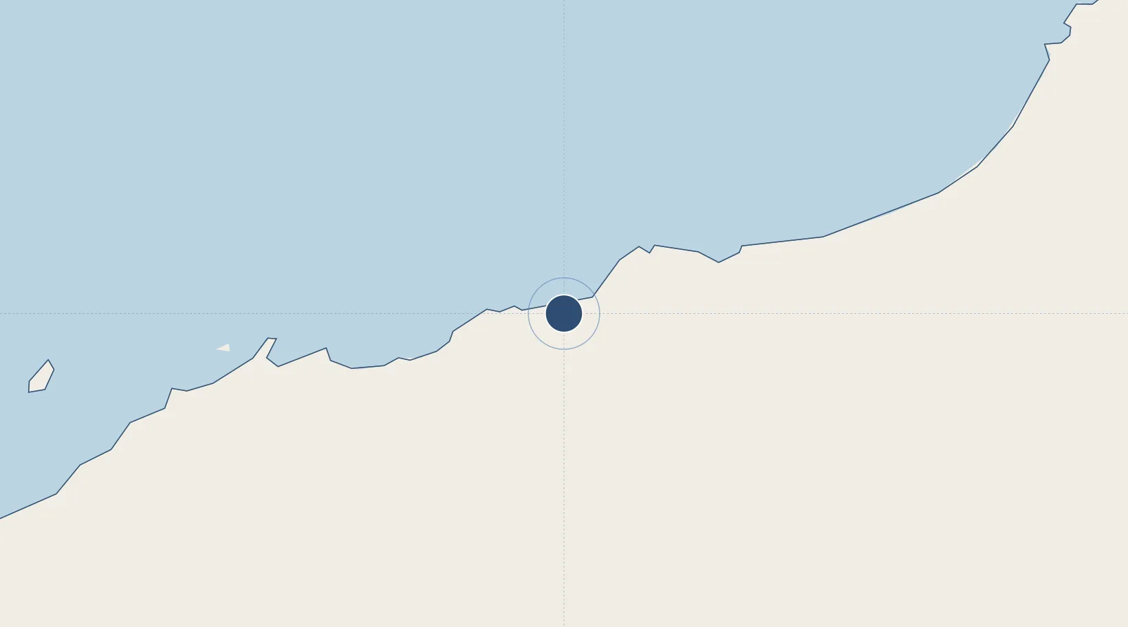
-20.3828°, 118.6298°
8,202 ft
Longest runway
2
Runways
33 ft
Elevation
Runway & Layout

Radio Frequencies
CTAF
119.9 MHz
FSS
118.6 MHz
MELBOURNE CNTR
Navaids
PD VOR-DME Port Hedland 114.10 MHz
PD NDB Port Hedland 260 kHz
Runways · 2
| Runway | Dimensions | Surface | True heading | Lit |
|---|---|---|---|---|
| 14/32 | 8,202 × 148ft | Asphalt | 138° | ✓ |
| 18/36 | 3,281 × 59ft | Asphalt | 183° | — |
Airport Specifications
IATA code
PHE
ICAO code
YPPD
Airport class
Large airport
Scheduled service
Yes
Runway surface
Asphalt
Served city
Port Hedland
Location
Nearby Logistics Neighbours
Airports
- 1Karratha Airport197 km
- 2Christmas Creek Airport243 km
- 3Eliwana290 km
- 4Paraburdoo Airport323 km
- 5Newman Airport359 km
Cities
- 1Port Hedland3 km
- 2Withnell Bay194 km
- 3Cossack Pioneer (oil Terminal)245 km
- 4Airlie Terminal375 km
- 5Onslow393 km
Ports
- 1Port Hedland9 km
- 2Port Walcott154 km
- 3Dampier201 km
- 4Onslow393 km
- 5Broome464 km
Trade Zones
- 1KEK Mandalika1302 km
- 2Oecusse Ambeno Enclave Special Zone For Social Market Economy (Zeesm)1371 km
- 3KEK Singhasari1532 km
- 4Atauro Special Economic Zone1546 km
- 5Pasuruan Industrial Estate Rembang1552 km
DatabookThe Record of Consolidated Knowledge
Australia beyond logistics?