Transport Functions
Multimodal
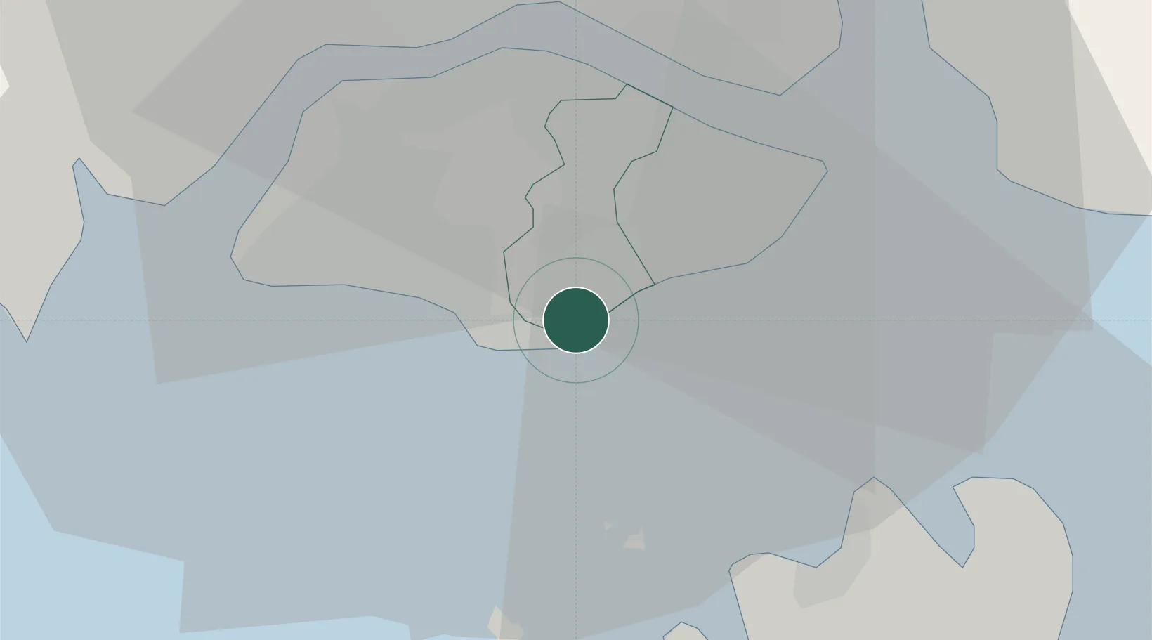
Location
Nearby Logistics Neighbours
Cities
- 1Choa Chu Kang0 km
- 2Clementi0 km
- 3Bukit Merah Estate4 km
- 4Pasir Panjang Wharves8 km
- 5PASIR PANJANG Terminal9 km
Ports
- 1Keppel - (East Singapore)0 km
- 2Pulau Bukom11 km
- 3Pulau Sebarok11 km
- 4Jurong Island13 km
- 5Pulau Sambu14 km
Airports
- 1Paya Lebar Air Base11 km
- 2Seletar Airport15 km
- 3Sembawang Air Base16 km
- 4Singapore Changi Airport18 km
- 5Changi Air Base (East)19 km
DatabookThe Record of Consolidated Knowledge
Singapore beyond logistics?