Transport Functions
Port
Rail
Road
Hub Profile
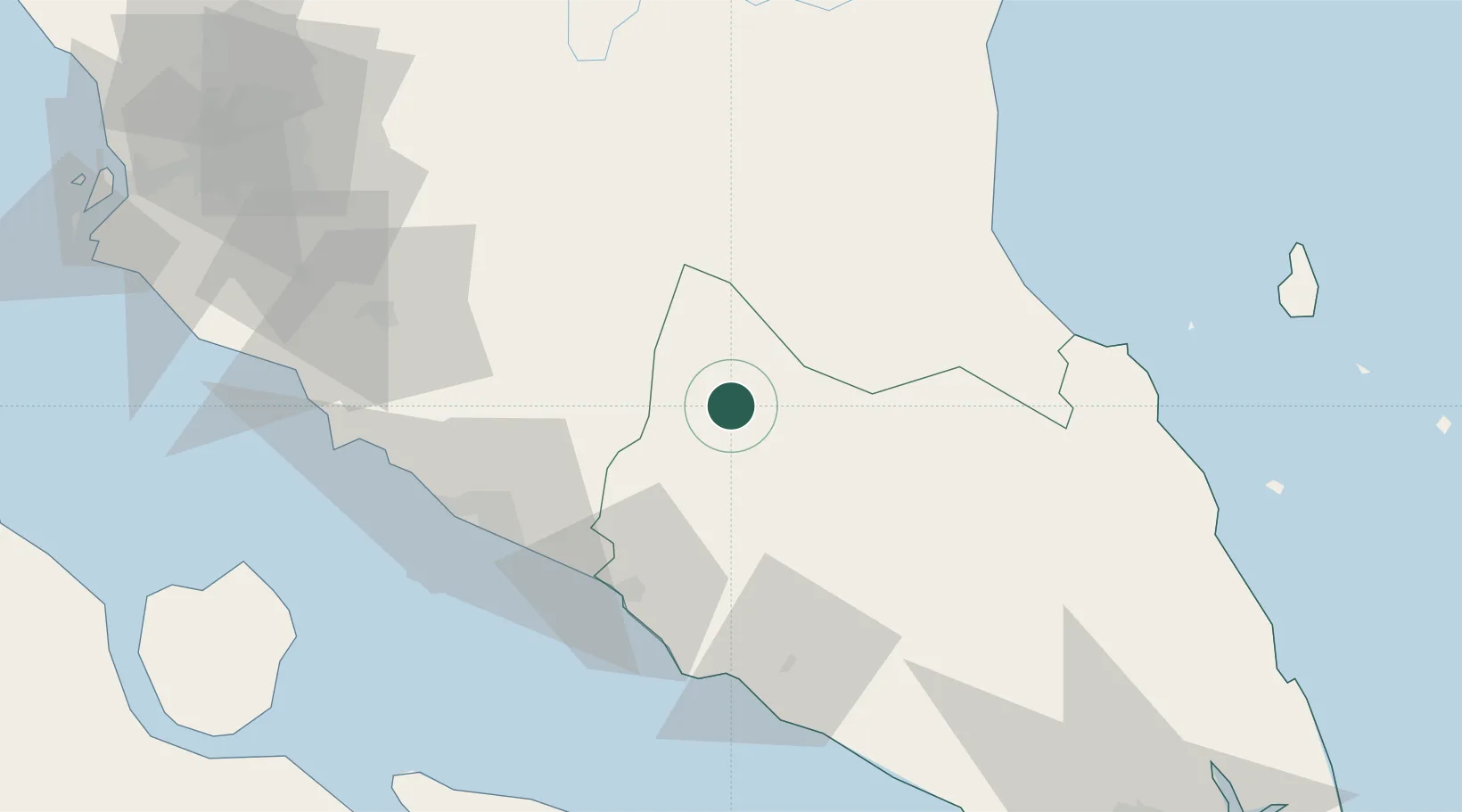
Place type
Populated place
Region
Johor
Population
69,816
Time zone
Asia/Kuala_Lumpur
Elevation
35 m
Location
Nearby Logistics Neighbours
Cities
- 1Alor Gajah70 km
- 2Kluang76 km
- 3Rembau80 km
- 4Sungai Udang Port81 km
- 5Sungai Udang86 km
Ports
- 1Muar57 km
- 2Melaka71 km
- 3Pelabuhan Sungai Udang81 km
- 4Port Dickson115 km
- 5Bengkalis140 km
Airports
- 1Malacca International Airport68 km
- 2Kluang Airport75 km
- 3Kuala Lumpur International Airport126 km
- 4Senai International Airport135 km
- 5Kuantan Airport148 km
DatabookThe Record of Consolidated Knowledge
Malaysia beyond logistics?