Transport Functions
Multimodal
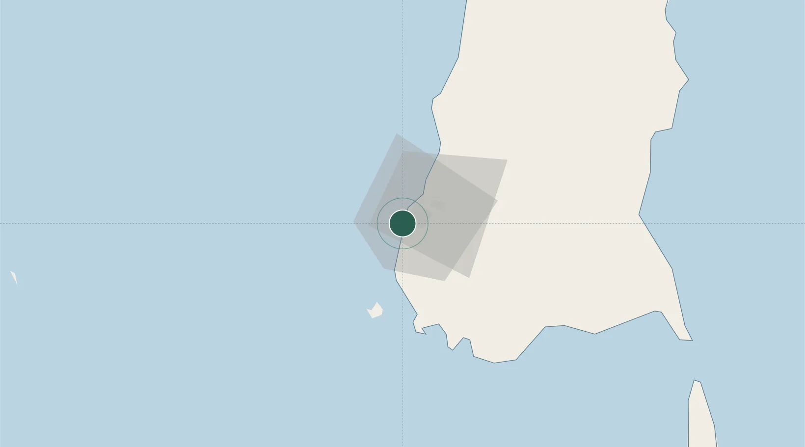
Hub Profile
Place type
Populated place
Region
Chaharmahal and Bakhtiari
Time zone
Asia/Tehran
Elevation
1,831 m
Location
Nearby Logistics Neighbours
Cities
- 1Panakukang0 km
- 2Makassar12 km
- 3Biringkassi42 km
- 4Palapo, Sulawesi252 km
- 5Kolaka273 km
Ports
- 1Ujung Pandang6 km
- 2Parepare134 km
- 3Pomalaa270 km
- 4Baubau359 km
- 5Raha Roadstead373 km
Airports
Trade Zones
DatabookThe Record of Consolidated Knowledge
Iran beyond logistics?