UN/LOCODE hub · Indonesia
IDPKK

Panakukang

-5.1833°, 119.3833°
1
Transport functions

Transport Functions

Multimodal
UN/LOCODE

Hub Profile

Region
SN
GeoNames

Location

Location of IDPKK
Natural Earth 10m (public domain) · SN · IDPKK · -5.18, 119.38GoogleOSMYandex

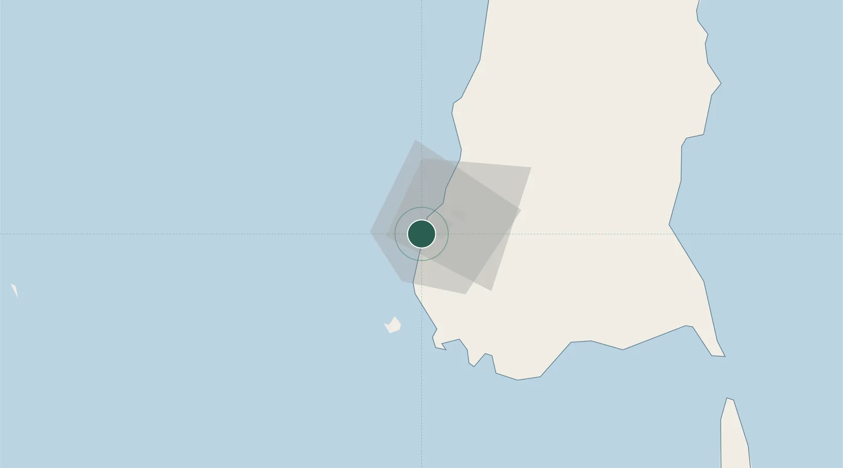
Nearby Logistics Neighbours

Cities
  1. 1Shahriar0 km
  2. 2Makassar12 km
  3. 3Biringkassi42 km
  4. 4Palapo, Sulawesi252 km
  5. 5Kolaka273 km
Nearest neighbours — logibook spatial index (haversine) over the source coordinates
Ports
  1. 1Ujung Pandang6 km
  2. 2Parepare134 km
  3. 3Pomalaa270 km
  4. 4Baubau359 km
  5. 5Raha Roadstead373 km
Nearest neighbours — logibook spatial index (haversine) over the source coordinates
Airports
  1. 1Sultan Hasanuddin International Airport22 km
  2. 2Selayar - Haji Aroeppala Airport161 km
  3. 3Toraja Airport230 km
  4. 4Bua - Palopo Lagaligo Airport252 km
  5. 5Sangia Nibandera Airport255 km
Nearest neighbours — logibook spatial index (haversine) over the source coordinates
Trade Zones
  1. 1Kawasan Industri Makassar15 km
  2. 2Terpadu Takalar Industrial Estate32 km
  3. 3Bantaeng Industrial Park (BIP)72 km
  4. 4Morowali Industrial Park404 km
  5. 5Palu Special Economic Zone500 km
Nearest neighbours — logibook spatial index (haversine) over the source coordinates
DatabookThe Record of Consolidated Knowledge
Indonesia beyond logistics?
Browse databook

All Sources

LocationsUN/LOCODE
UN/LOCODE — free
Portsthe NGA World Port Index
Public domain (US gov)
AirportsOurAirports
Public domain
Trade Zonesthe World Bank SEZ database
CC BY 4.0
Trade ZonesOpen Zone Map
CC BY
← Indonesia locations