UN/LOCODE hub · Myanmar (Burma)
MMKYA
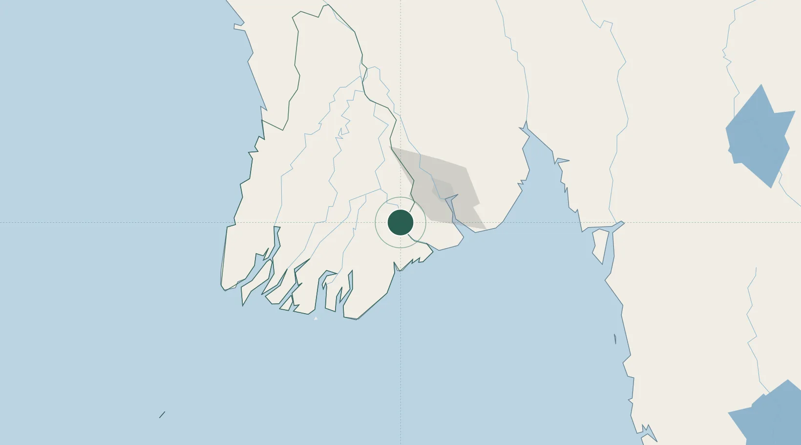
Kyaiklat
16.5667°, 95.7833°
52,425
Population
2
Transport functions
Transport Functions
Port
Road
Hub Profile
Place type
Populated place
Region
Ayeyarwady
Population
52,425
Time zone
Asia/Yangon
Elevation
10 m
Location
Nearby Logistics Neighbours
Cities
- 1Pazundaung47 km
- 2Yangon48 km
- 3Thilawa51 km
- 4Mese304 km
- 5Kamphaeng Phet398 km
Airports
- 1Yangon International Airport53 km
- 2Pathein Airport110 km
- 3Mawlamyine Airport201 km
- 4Thandwe Airport263 km
- 5Mae Sot Airport295 km
Trade Zones
DatabookThe Record of Consolidated Knowledge
Myanmar (Burma) beyond logistics?