UN/LOCODE hub · Myanmar (Burma)
MMTLA

Thilawa

16.6500°, 96.2500°
3
Transport functions

Transport Functions

Port
Rail
Road
UN/LOCODE

Hub Profile

Place type
Populated place
GeoNames
Region
Yangon
GeoNames
Time zone
Asia/Yangon
GeoNames
Elevation
6 m
GeoNames

Location

Location of MMTLA
Natural Earth 10m (public domain) · Yangon · MMTLA · 16.65, 96.25GoogleOSMYandex

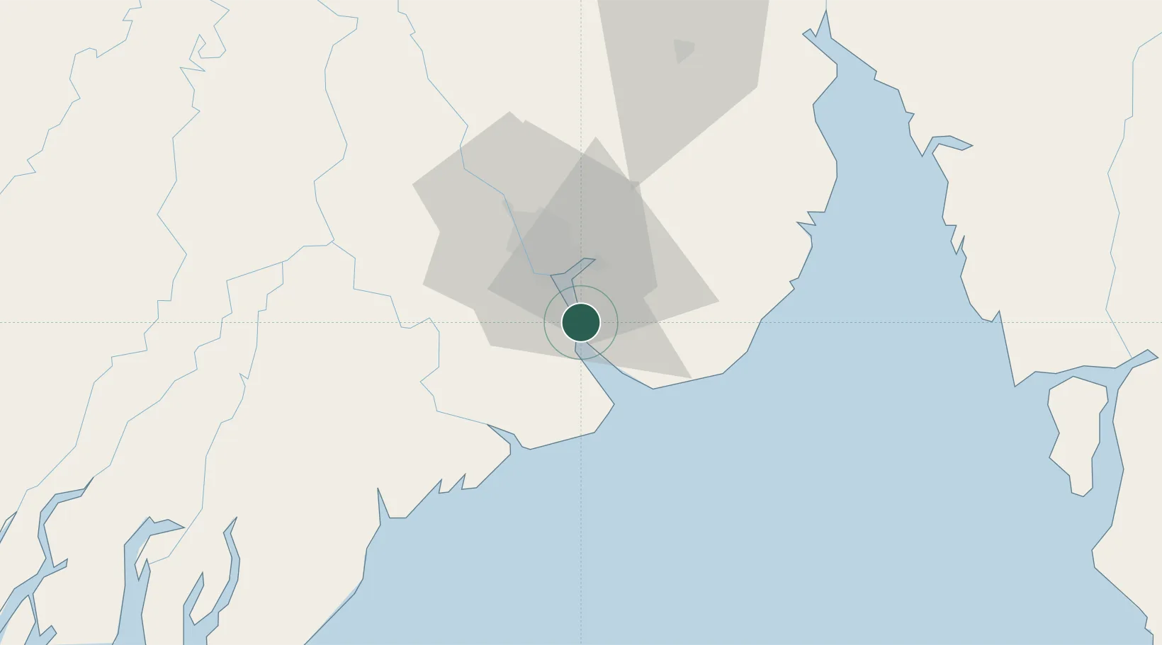
Nearby Logistics Neighbours

Cities
  1. 1Pazundaung17 km
  2. 2Yangon19 km
  3. 3Kyaiklat51 km
  4. 4Mese267 km
  5. 5Kamphaeng Phet349 km
Nearest neighbours — logibook spatial index (haversine) over the source coordinates
Ports
  1. 1Rangoon16 km
  2. 2Bassein162 km
  3. 3Sittwe524 km
  4. 4Mergui533 km
  5. 5Bangkok559 km
Nearest neighbours — logibook spatial index (haversine) over the source coordinates
Airports
  1. 1Yangon International Airport31 km
  2. 2Mawlamyine Airport152 km
  3. 3Pathein Airport158 km
  4. 4Mae Sot Airport245 km
  5. 5Thandwe Airport289 km
Nearest neighbours — logibook spatial index (haversine) over the source coordinates
Trade Zones
  1. 1Tak Special Economic Zone308 km
  2. 2Northern Region Industrial Estate (Lamphun)365 km
  3. 3Creative Kingdom (Thailand) Co., Ltd.381 km
  4. 4Kanchanaburi Special Economic Zone442 km
  5. 5Ratchaburi Industrial Estate510 km
Nearest neighbours — logibook spatial index (haversine) over the source coordinates
DatabookThe Record of Consolidated Knowledge
Myanmar (Burma) beyond logistics?
Browse databook

All Sources

LocationsUN/LOCODE
UN/LOCODE — free
Portsthe NGA World Port Index
Public domain (US gov)
AirportsOurAirports
Public domain
Trade Zonesthe World Bank SEZ database
CC BY 4.0
Trade ZonesOpen Zone Map
CC BY
← Myanmar (Burma) locations