Transport Functions
Multimodal
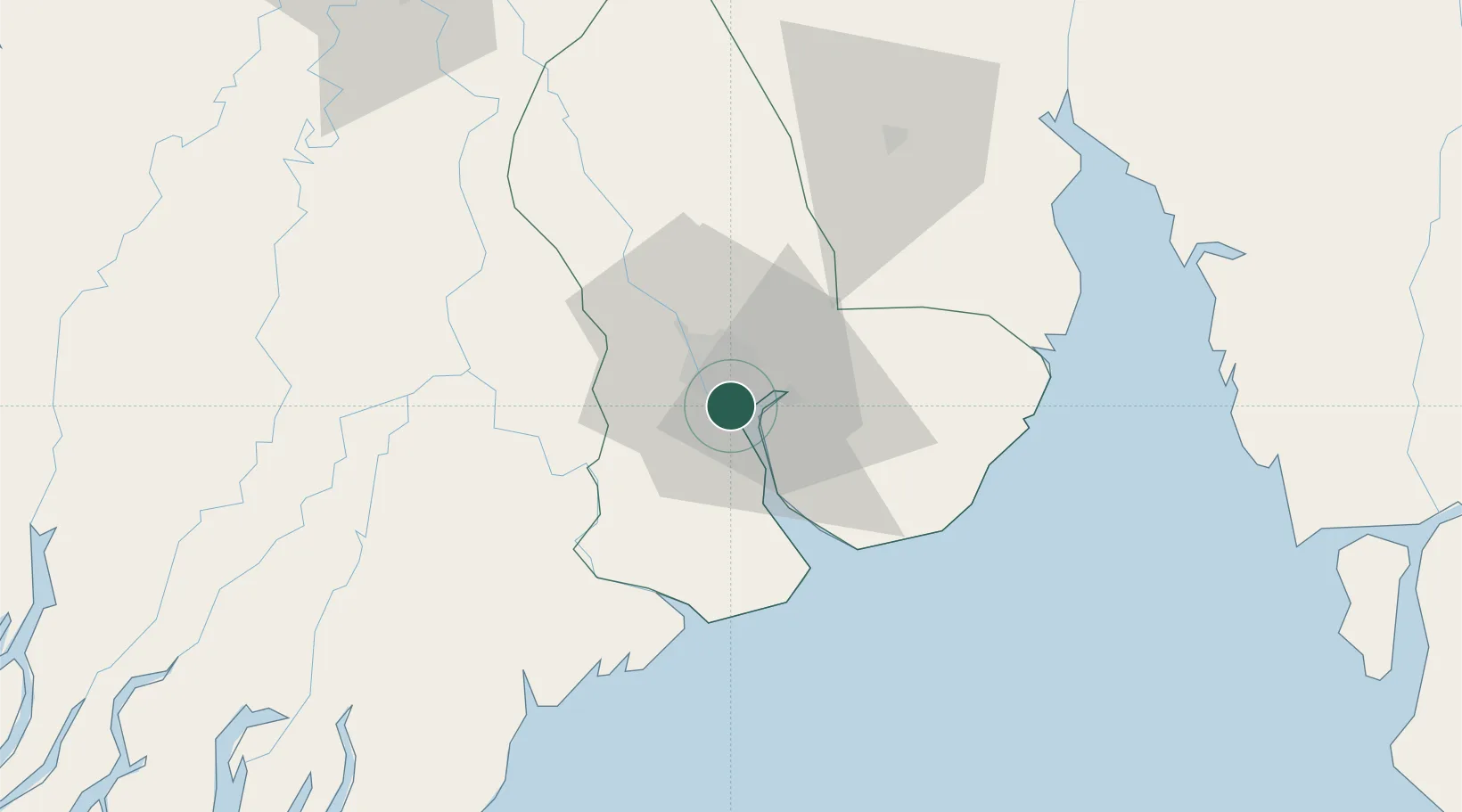
Hub Profile
Place type
Urban district
Region
Yangon
Time zone
Asia/Yangon
Elevation
19 m
Location
Nearby Logistics Neighbours
Cities
- 1Yangon2 km
- 2Thilawa17 km
- 3Kyaiklat47 km
- 4Mese260 km
- 5Kamphaeng Phet359 km
Airports
- 1Yangon International Airport14 km
- 2Pathein Airport148 km
- 3Mawlamyine Airport164 km
- 4Mae Sot Airport253 km
- 5Thandwe Airport272 km
Trade Zones
DatabookThe Record of Consolidated Knowledge
Myanmar (Burma) beyond logistics?