Small airport · Myanmar (Burma)
Pathein AirportVYPN
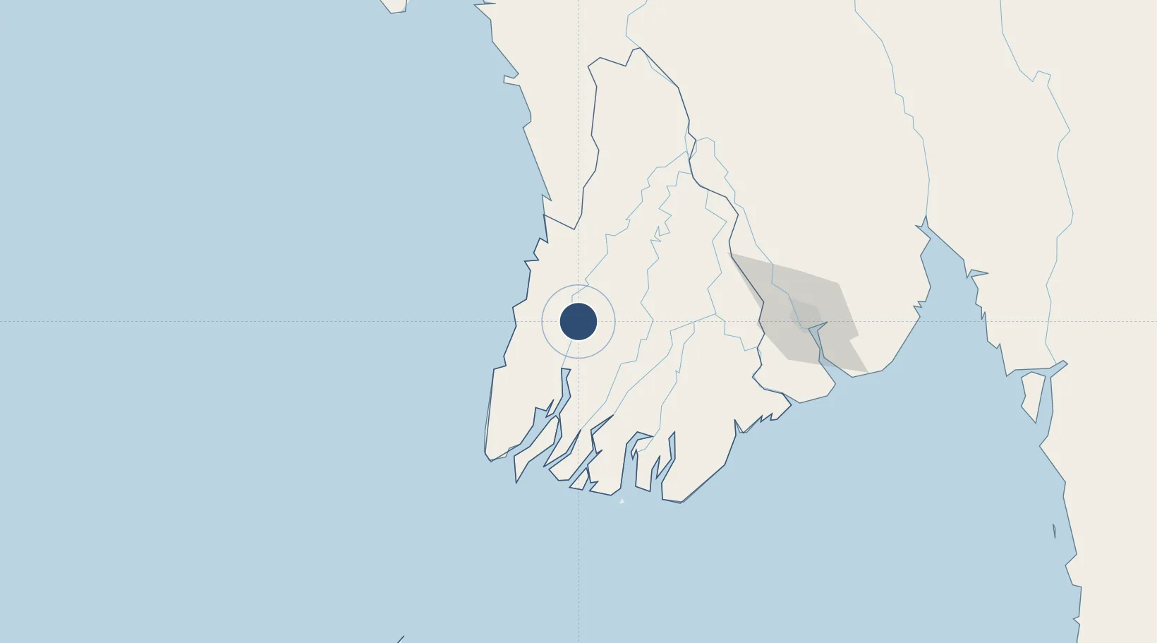
16.8152°, 94.7799°
4,400 ft
Longest runway
1
Runways
20 ft
Elevation
Runway & Layout

Radio Frequencies
TWR
118.7 MHz
Navaids
PTN VOR-DME Pathein 115.60 MHz
PTN NDB Pathein 415 kHz
Runways · 1
| Runway | Dimensions | Surface | True heading | Lit |
|---|---|---|---|---|
| 06/24 | 4,400 × 100ft | Concrete | 064° | — |
Airport Specifications
IATA code
BSX
ICAO code
VYPN
Airport class
Small airport
Scheduled service
Yes
Runway surface
Concrete
Served city
Pathein
Location
Nearby Logistics Neighbours
Airports
- 1Yangon International Airport144 km
- 2Thandwe Airport190 km
- 3Mawlamyine Airport310 km
- 4Kyaukpyu Airport319 km
- 5Nay Pyi Taw International Airport347 km
Cities
- 1Kyaiklat110 km
- 2Yangon147 km
- 3Pazundaung148 km
- 4Thilawa158 km
- 5Mese367 km
Ports
- 1Bassein6 km
- 2Rangoon148 km
- 3Sittwe419 km
- 4Port Blair612 km
- 5Mergui637 km
Trade Zones
DatabookThe Record of Consolidated Knowledge
Myanmar (Burma) beyond logistics?