Large airport · Myanmar (Burma)

Nay Pyi Taw International AirportVYNT
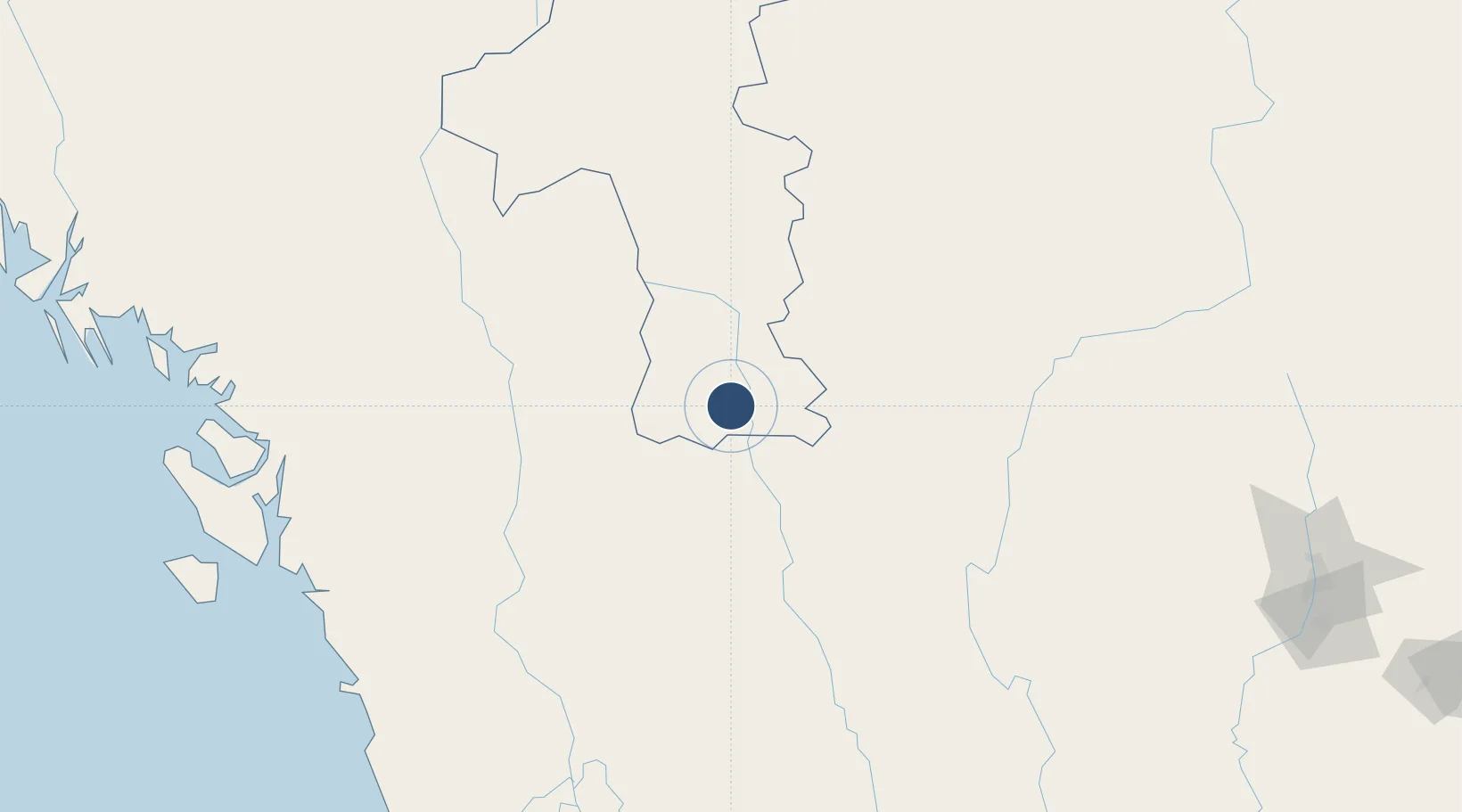
19.6235°, 96.2010°
12,000 ft
Longest runway
1
Runways
302 ft
Elevation

Runway & Layout

Nay Pyi Taw International Airport runway & taxiway layout
Runway & taxiway layout — OpenStreetMap (ODbL) / OurAirports

Radio Frequencies

TWR
118.7 MHz
OurAirports

Navaids

EL NDB El 390 kHz
OurAirports

Runways · 1

RunwayDimensions SurfaceTrue headingLit
16/34 12,000 × 500ft Concrete 157°
OurAirports

Airport Specifications

IATA code
NYT
OurAirports
ICAO code
VYNT
OurAirports
Airport class
Large airport
OurAirports
Scheduled service
Yes
OurAirports
Runway surface
Concrete
OurAirports
Served city
Naypyitaw
OurAirports

Location

Location of VYNT
Natural Earth 10m (public domain) · Mandalay · VYNT · 19.62, 96.20GoogleOSMYandex

Nearby Logistics Neighbours

Airports
  1. 1Loikaw Airport106 km
  2. 2Heho Airport139 km
  3. 3Meiktila Air Base144 km
  4. 4Magway Airport145 km
  5. 5Shante Air Base150 km
Nearest neighbours — logibook spatial index (haversine) over the source coordinates
Cities
  1. 1Mese189 km
  2. 2Myit Nge250 km
  3. 3Yangon314 km
  4. 4Pazundaung316 km
  5. 5Thilawa331 km
Nearest neighbours — logibook spatial index (haversine) over the source coordinates
Ports
  1. 1Rangoon318 km
  2. 2Sittwe350 km
  3. 3Bassein352 km
  4. 4Chittagong545 km
  5. 5Mongla754 km
Nearest neighbours — logibook spatial index (haversine) over the source coordinates
Trade Zones
  1. 1Creative Kingdom (Thailand) Co., Ltd.316 km
  2. 2Northern Region Industrial Estate (Lamphun)318 km
  3. 3Chiang Rai Special Economic Zone382 km
  4. 4Golden Triangle Special Economic Zone414 km
  5. 5Sabrang Tourism Park432 km
Nearest neighbours — logibook spatial index (haversine) over the source coordinates
DatabookThe Record of Consolidated Knowledge
Myanmar (Burma) beyond logistics?
Browse databook

All Sources

AirportsOurAirports
Public domain
Portsthe NGA World Port Index
Public domain (US gov)
LocationsUN/LOCODE
UN/LOCODE — free
Trade Zonesthe World Bank SEZ database
CC BY 4.0
Trade ZonesOpen Zone Map
CC BY
InfrastructureOpenStreetMap
ODbL 1.0
← Myanmar (Burma) airports