Medium airport · Myanmar (Burma)
Namsang AirportVYNS
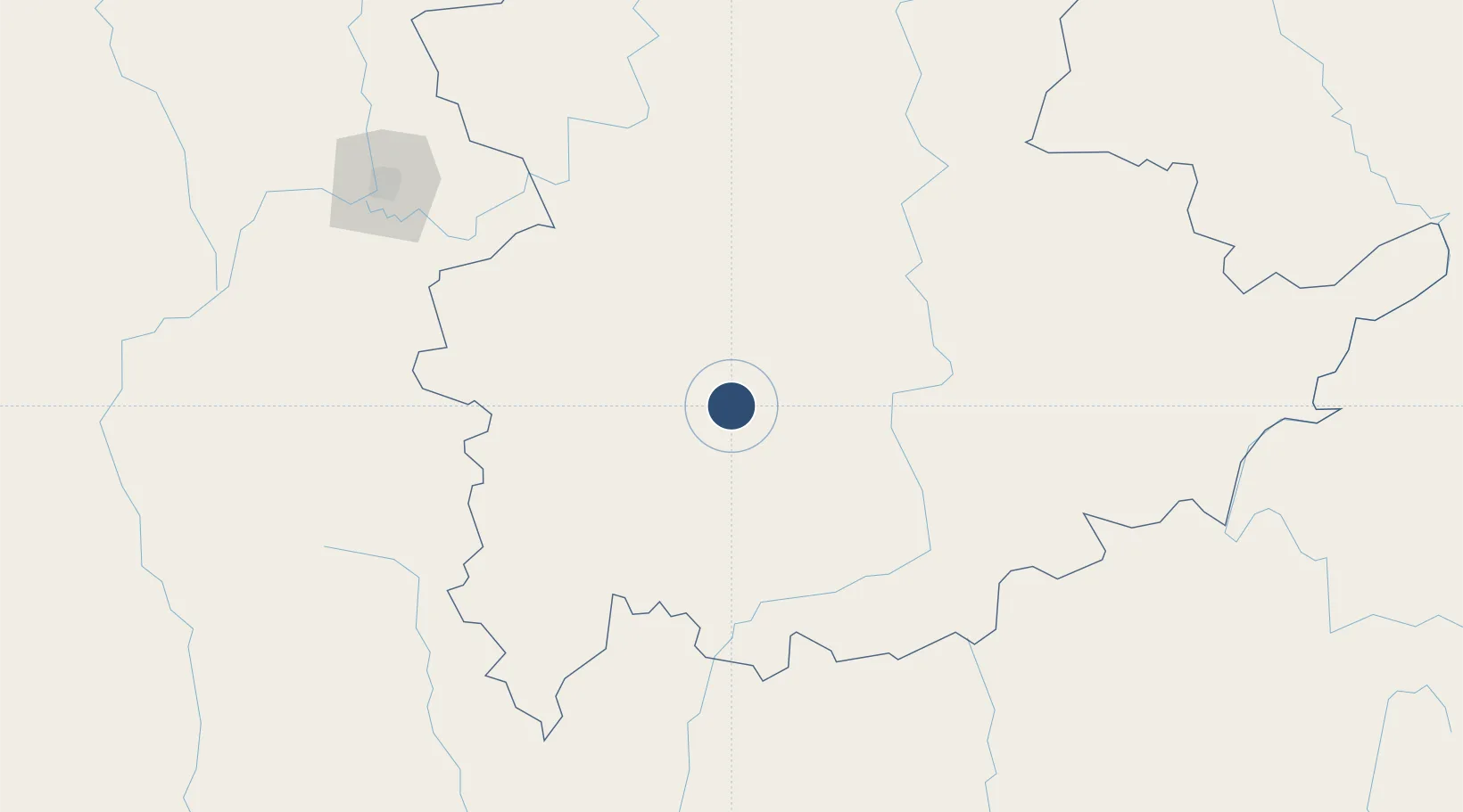
20.8905°, 97.7359°
12,005 ft
Longest runway
1
Runways
3,100 ft
Elevation
Runway & Layout

Radio Frequencies
TWR
118.7 MHz
Navaids
NS NDB Namsang 260 kHz
Runways · 1
| Runway | Dimensions | Surface | True heading | Lit |
|---|---|---|---|---|
| 03/21 | 12,005 × 200ft | Concrete | 027° | ✓ |
Airport Specifications
IATA code
NMS
ICAO code
VYNS
Airport class
Medium airport
Scheduled service
No
Runway surface
Concrete
Served city
Namsang
Location
Nearby Logistics Neighbours
Airports
- 1Heho Airport99 km
- 2Loikaw Airport144 km
- 3Mong Hsat Airport164 km
- 4Mae Hong Son Airport179 km
- 5Shante Air Base189 km
Cities
- 1Myit Nge203 km
- 2Chiang Saen Customs House251 km
- 3Mese251 km
- 4Jinghong341 km
- 5Simao395 km
Ports
- 1Rangoon487 km
- 2Sittwe511 km
- 3Bassein555 km
- 4Chittagong632 km
- 5Bangkok846 km
DatabookThe Record of Consolidated Knowledge
Myanmar (Burma) beyond logistics?