Medium airport · Thailand

Mae Hong Son AirportVTCH
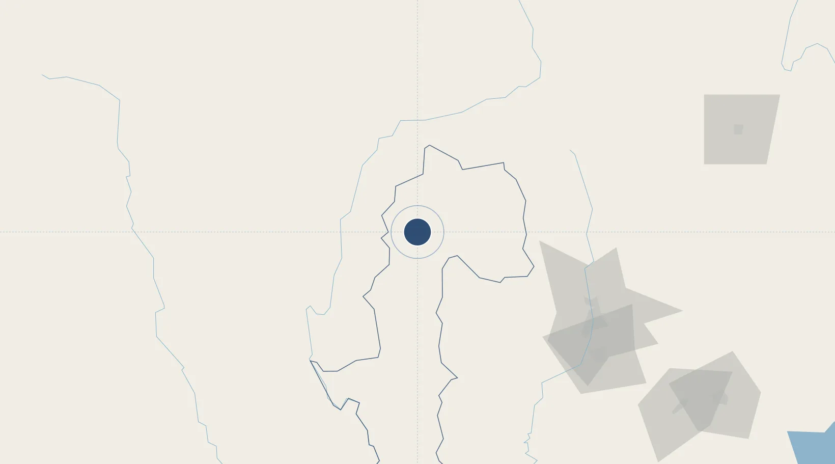
19.3013°, 97.9758°
6,562 ft
Longest runway
1
Runways
929 ft
Elevation

Runway & Layout

Mae Hong Son Airport runway & taxiway layout
Runway & taxiway layout — OpenStreetMap (ODbL) / OurAirports

Radio Frequencies

ATIS
38.4 MHz
TWR
122.3 MHz
APP
126.2 MHz
OurAirports

Navaids

MH NDB Mae Hong Son 384 kHz
MHS VOR-DME Mae Hong Son 115.50 MHz
OurAirports

Runways · 1

RunwayDimensions SurfaceTrue headingLit
11/29 6,562 × 98ft Asphalt 107°
OurAirports

Airport Specifications

IATA code
HGN
OurAirports
ICAO code
VTCH
OurAirports
Airport class
Medium airport
OurAirports
Scheduled service
Yes
OurAirports
Runway surface
Asphalt
OurAirports
Served city
Mae Hong Son
OurAirports

Location

Location of VTCH
Natural Earth 10m (public domain) · Mae Hong Son · VTCH · 19.30, 97.98GoogleOSMYandex

Nearby Logistics Neighbours

Airports
  1. 1Loikaw Airport91 km
  2. 2Chiang Mai International Airport120 km
  3. 3Lamphun Airport137 km
  4. 4Namsang Airport179 km
  5. 5Nay Pyi Taw International Airport190 km
Nearest neighbours — logibook spatial index (haversine) over the source coordinates
Cities
  1. 1Mese81 km
  2. 2Chiang Saen Customs House246 km
  3. 3Yangon338 km
  4. 4Pazundaung339 km
  5. 5Myit Nge347 km
Nearest neighbours — logibook spatial index (haversine) over the source coordinates
Ports
  1. 1Rangoon341 km
  2. 2Bassein443 km
  3. 3Sittwe539 km
  4. 4Bangkok673 km
  5. 5Chittagong723 km
Nearest neighbours — logibook spatial index (haversine) over the source coordinates
Trade Zones
  1. 1Creative Kingdom (Thailand) Co., Ltd.129 km
  2. 2Northern Region Industrial Estate (Lamphun)136 km
  3. 3Chiang Rai Special Economic Zone207 km
  4. 4Golden Triangle Special Economic Zone250 km
  5. 5Tak Special Economic Zone295 km
Nearest neighbours — logibook spatial index (haversine) over the source coordinates
DatabookThe Record of Consolidated Knowledge
Thailand beyond logistics?
Browse databook

All Sources

AirportsOurAirports
Public domain
Portsthe NGA World Port Index
Public domain (US gov)
LocationsUN/LOCODE
UN/LOCODE — free
Trade Zonesthe World Bank SEZ database
CC BY 4.0
Trade ZonesOpen Zone Map
CC BY
InfrastructureOpenStreetMap
ODbL 1.0
← Thailand airports