Medium airport · Myanmar (Burma)

Mong Hsat AirportVYMS
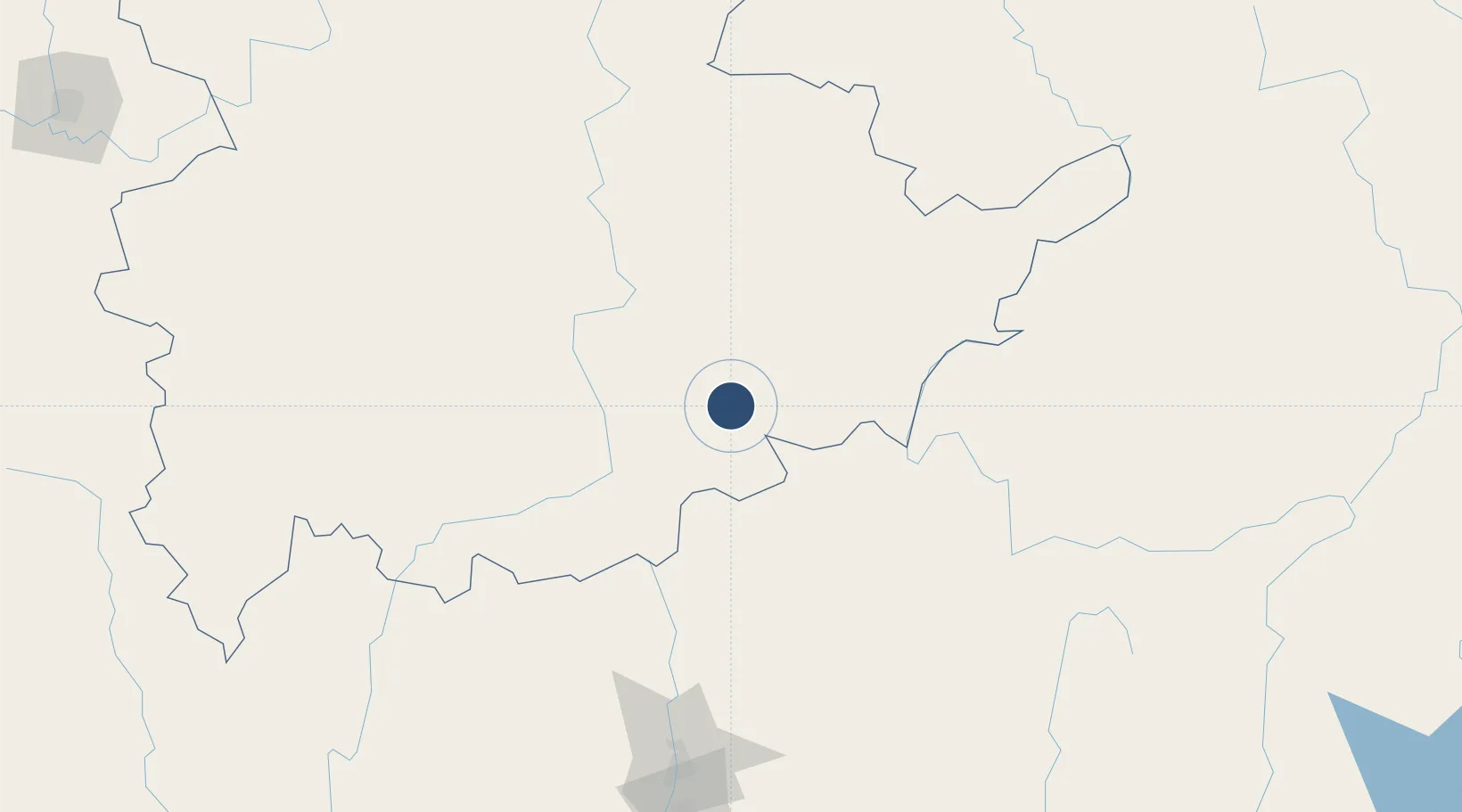
20.5168°, 99.2568°
5,000 ft
Longest runway
1
Runways
1,875 ft
Elevation

Runway & Layout

Mong Hsat Airport runway & taxiway layout
Runway & taxiway layout — OpenStreetMap (ODbL) / OurAirports

Radio Frequencies

TWR
118.7 MHz
OurAirports

Navaids

MS NDB Mong Hsat 312 kHz
OurAirports

Runways · 1

RunwayDimensions SurfaceTrue headingLit
12/30 5,000 × 102ft Bitumen 123°
OurAirports

Airport Specifications

IATA code
MOG
OurAirports
ICAO code
VYMS
OurAirports
Airport class
Medium airport
OurAirports
Scheduled service
Yes
OurAirports
Runway surface
Bitumen
OurAirports
Served city
Mong Hsat
OurAirports

Location

Location of VYMS
Natural Earth 10m (public domain) · Shan · VYMS · 20.52, 99.26GoogleOSMYandex

Nearby Logistics Neighbours

Airports
  1. 1Tachileik Airport71 km
  2. 2Mae Fah Luang - Chiang Rai International Airport91 km
  3. 3Kengtung Airport96 km
  4. 4Bokeo International Airport97 km
  5. 5Namsang Airport164 km
Nearest neighbours — logibook spatial index (haversine) over the source coordinates
Cities
  1. 1Chiang Saen Customs House87 km
  2. 2Jinghong231 km
  3. 3Nateuy254 km
  4. 4Boten261 km
  5. 5Mese268 km
Nearest neighbours — logibook spatial index (haversine) over the source coordinates
Ports
  1. 1Rangoon529 km
  2. 2Bassein632 km
  3. 3Sittwe664 km
  4. 4Nghe Tinh709 km
  5. 5Bangkok764 km
Nearest neighbours — logibook spatial index (haversine) over the source coordinates
DatabookThe Record of Consolidated Knowledge
Myanmar (Burma) beyond logistics?
Browse databook

All Sources

AirportsOurAirports
Public domain
Portsthe NGA World Port Index
Public domain (US gov)
LocationsUN/LOCODE
UN/LOCODE — free
Trade Zonesthe World Bank SEZ database
CC BY 4.0
Trade ZonesOpen Zone Map
CC BY
InfrastructureOpenStreetMap
ODbL 1.0
← Myanmar (Burma) airports