Medium airport · Myanmar (Burma)
Loikaw AirportVYLK
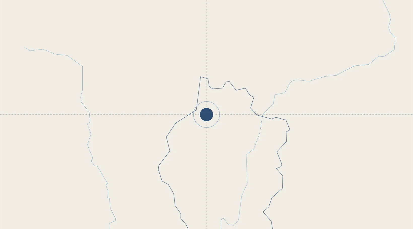
19.6915°, 97.2148°
5,200 ft
Longest runway
1
Runways
2,940 ft
Elevation
Runway & Layout

Radio Frequencies
TWR
118.7 MHz
Navaids
LK NDB Loikaw 295 kHz
Runways · 1
| Runway | Dimensions | Surface | True heading | Lit |
|---|---|---|---|---|
| 01/19 | 5,200 × 75ft | Bitumen | 004° | ✓ |
Airport Specifications
IATA code
LIW
ICAO code
VYLK
Airport class
Medium airport
Scheduled service
Yes
Runway surface
Bitumen
Served city
Loikaw
Location
Nearby Logistics Neighbours
Airports
- 1Mae Hong Son Airport91 km
- 2Nay Pyi Taw International Airport106 km
- 3Heho Airport125 km
- 4Namsang Airport144 km
- 5Meiktila Air Base192 km
Cities
- 1Mese127 km
- 2Myit Nge269 km
- 3Chiang Saen Customs House306 km
- 4Yangon341 km
- 5Pazundaung342 km
Ports
- 1Rangoon344 km
- 2Bassein416 km
- 3Sittwe454 km
- 4Chittagong632 km
- 5Bangkok748 km
Trade Zones
DatabookThe Record of Consolidated Knowledge
Myanmar (Burma) beyond logistics?