Medium airport · Thailand
Mae Sot AirportVTPM
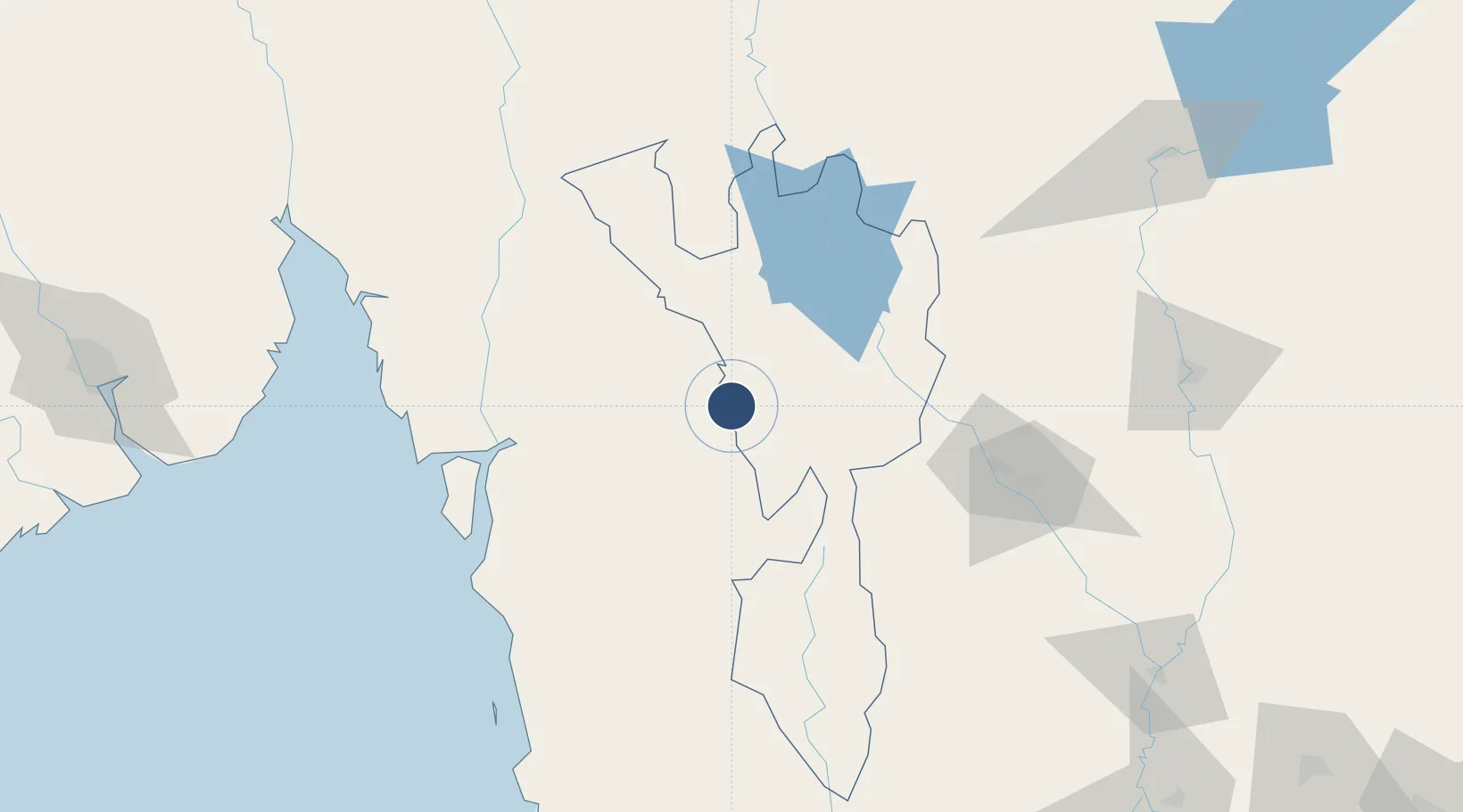
16.6999°, 98.5451°
4,921 ft
Longest runway
1
Runways
690 ft
Elevation
Runway & Layout

Radio Frequencies
ATIS
31.6 MHz
TWR
118.35 MHz
APP
120.65 MHz
Navaids
MS NDB Mae Sot 316 kHz
MST VOR-DME Mae Sot 116.70 MHz
Runways · 1
| Runway | Dimensions | Surface | True heading | Lit |
|---|---|---|---|---|
| 09/27 | 4,921 × 98ft | Asphalt | 089° | ✓ |
Airport Specifications
IATA code
MAQ
ICAO code
VTPM
Airport class
Medium airport
Scheduled service
Yes
Runway surface
Asphalt
Location
Nearby Logistics Neighbours
Airports
- 1Tak Airport79 km
- 2Mawlamyine Airport98 km
- 3Sukhothai Airport148 km
- 4Phitsanulok Airport185 km
- 5Lampang Airport202 km
Cities
- 1Kamphaeng Phet107 km
- 2Nakhon Sawan202 km
- 3Mese234 km
- 4Thilawa245 km
- 5Pazundaung253 km
Ports
- 1Rangoon253 km
- 2Bangkok389 km
- 3Bassein406 km
- 4Ko Si Chang Terminal463 km
- 5Si Racha Terminal468 km
Trade Zones
DatabookThe Record of Consolidated Knowledge
Thailand beyond logistics?