Small airport · Myanmar (Burma)
Mawlamyine AirportVYMM
16.4447°, 97.6607°
5,260 ft
Longest runway
1
Runways
52 ft
Elevation
Runway & Layout

Radio Frequencies
TWR
118.7 MHz
Navaids
MM NDB Mawlamyine 330 kHz
Runways · 1
| Runway | Dimensions | Surface | True heading | Lit |
|---|---|---|---|---|
| 04/22 | 5,260 × 150ft | Bitumen | 035° | ✓ |
Airport Specifications
IATA code
MNU
ICAO code
VYMM
Airport class
Small airport
Scheduled service
Yes
Runway surface
Bitumen
Served city
Mawlamyine
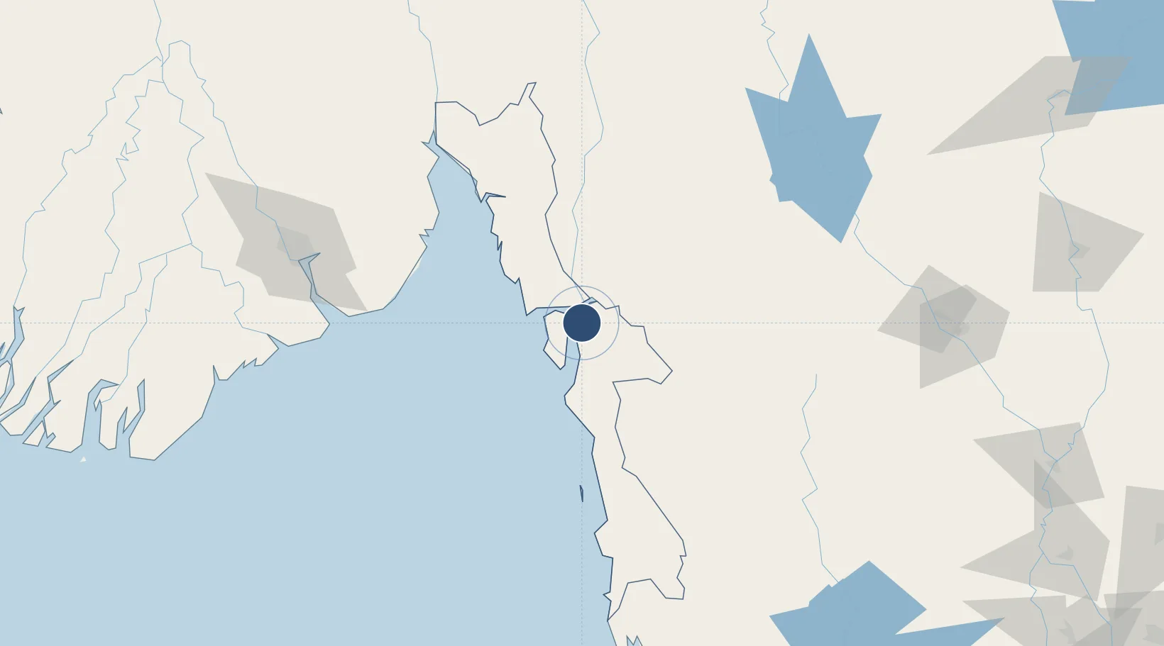
Location
Nearby Logistics Neighbours
Airports
- 1Mae Sot Airport98 km
- 2Yangon International Airport171 km
- 3Tak Airport177 km
- 4Sukhothai Airport246 km
- 5Dawei Airport267 km
Cities
- 1Thilawa152 km
- 2Pazundaung164 km
- 3Yangon165 km
- 4Kamphaeng Phet198 km
- 5Kyaiklat201 km
Ports
- 1Rangoon163 km
- 2Bassein314 km
- 3Bangkok427 km
- 4Mergui457 km
- 5Ko Si Chang Terminal498 km
Trade Zones
DatabookThe Record of Consolidated Knowledge
Myanmar (Burma) beyond logistics?