Medium airport · Thailand
Lampang AirportVTCL
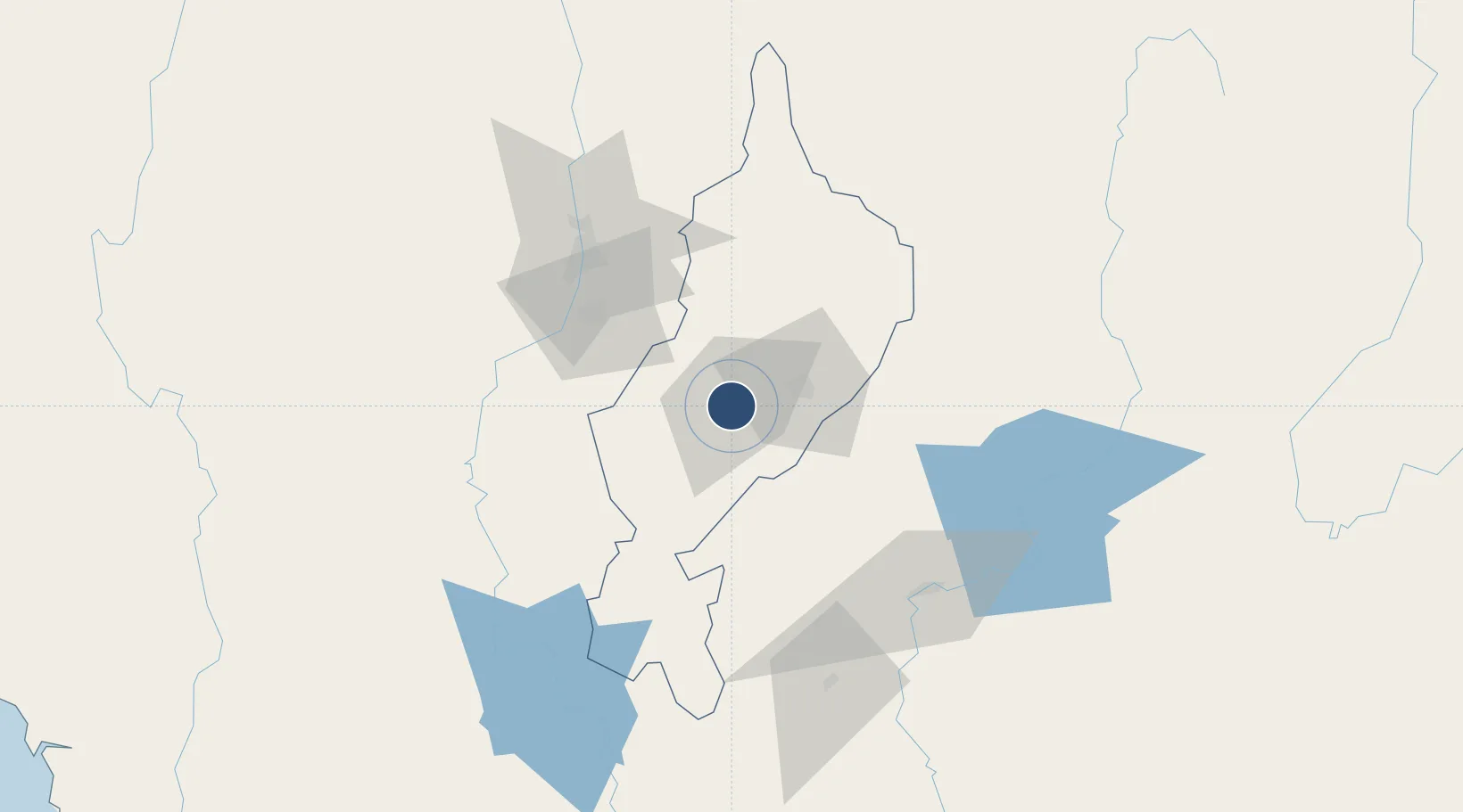
18.2709°, 99.5042°
6,465 ft
Longest runway
1
Runways
811 ft
Elevation
Runway & Layout

Radio Frequencies
ATIS
39.5 MHz
TWR
122.3 MHz
APP
119.3 MHz
Navaids
LP NDB Lampang 395 kHz
LPN VOR-DME Lampang 114.70 MHz
Runways · 1
| Runway | Dimensions | Surface | True heading | Lit |
|---|---|---|---|---|
| 18/36 | 6,465 × 95ft | Asphalt | 175° | ✓ |
Airport Specifications
IATA code
LPT
ICAO code
VTCL
Airport class
Medium airport
Scheduled service
Yes
Runway surface
Asphalt
Location
Nearby Logistics Neighbours
Airports
- 1Lamphun Airport60 km
- 2Phrae Airport72 km
- 3Chiang Mai International Airport79 km
- 4Sukhothai Airport120 km
- 5Nan Airport147 km
Cities
- 1Mese198 km
- 2Kamphaeng Phet201 km
- 3Chiang Saen Customs House235 km
- 4Nakhon Sawan295 km
- 5Phonhong307 km
Ports
- 1Rangoon391 km
- 2Bangkok514 km
- 3Bassein532 km
- 4Ko Si Chang Terminal585 km
- 5Si Racha Terminal587 km
Trade Zones
DatabookThe Record of Consolidated Knowledge
Thailand beyond logistics?