Runway & Layout

Airport Specifications
ICAO code
VTCO
Airport class
Small airport
Scheduled service
Yes
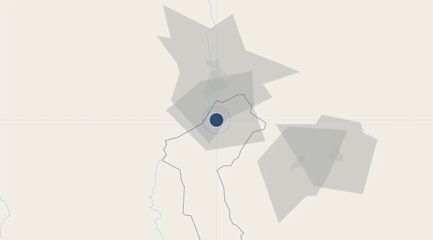
Location
Nearby Logistics Neighbours
Airports
- 1Chiang Mai International Airport25 km
- 2Lampang Airport60 km
- 3Phrae Airport130 km
- 4Mae Hong Son Airport137 km
- 5Sukhothai Airport169 km
Cities
- 1Mese142 km
- 2Chiang Saen Customs House226 km
- 3Kamphaeng Phet238 km
- 4Nakhon Sawan340 km
- 5Phonhong357 km
Ports
- 1Rangoon361 km
- 2Bassein494 km
- 3Bangkok557 km
- 4Ko Si Chang Terminal629 km
- 5Si Racha Terminal632 km
DatabookThe Record of Consolidated Knowledge
Thailand beyond logistics?