Large airport · Thailand

Chiang Mai International AirportVTCC
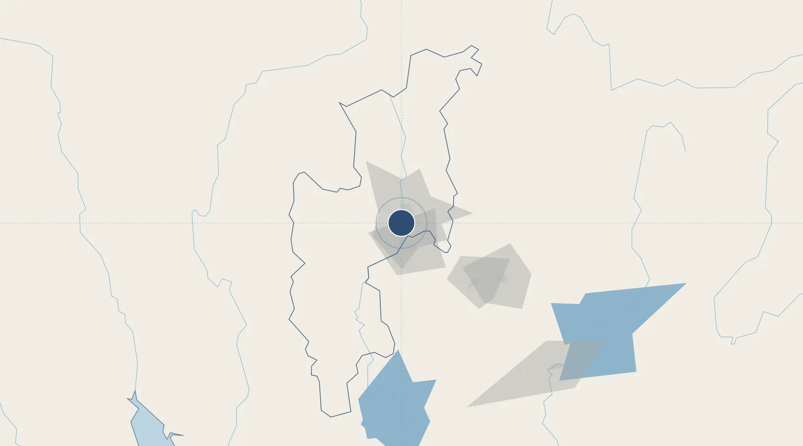
18.7668°, 98.9626°
11,155 ft
Longest runway
1
Runways
1,036 ft
Elevation

Runway & Layout

Chiang Mai International Airport runway & taxiway layout
Runway & taxiway layout — OpenStreetMap (ODbL) / OurAirports

Radio Frequencies

ATIS
127.2 MHz
TWR
118.1 MHz
GND
121.9 MHz
APP
129.6 MHz
OurAirports

Navaids

CGM NDB Chiang Mai 255 kHz
CHM TACAN Chiang Mai 116.20 MHz
CMA VOR-DME Chiang Mai 116.90 MHz
OurAirports

Runways · 1

RunwayDimensions SurfaceTrue headingLit
18/36 11,155 × 148ft Asphalt 180°
OurAirports

Airport Specifications

IATA code
CNX
OurAirports
ICAO code
VTCC
OurAirports
Airport class
Large airport
OurAirports
Scheduled service
Yes
OurAirports
Runway surface
Asphalt
OurAirports
Served city
Chiang Mai
OurAirports

Location

Location of VTCC
Natural Earth 10m (public domain) · Chiang Mai · VTCC · 18.77, 98.96GoogleOSMYandex

Nearby Logistics Neighbours

Airports
  1. 1Lamphun Airport25 km
  2. 2Lampang Airport79 km
  3. 3Mae Hong Son Airport120 km
  4. 4Phrae Airport145 km
  5. 5Mae Fah Luang - Chiang Rai International Airport163 km
Nearest neighbours — logibook spatial index (haversine) over the source coordinates
Cities
  1. 1Mese137 km
  2. 2Chiang Saen Customs House208 km
  3. 3Kamphaeng Phet262 km
  4. 4Luang Prabang362 km
  5. 5Phonhong364 km
Nearest neighbours — logibook spatial index (haversine) over the source coordinates
Ports
  1. 1Rangoon370 km
  2. 2Bassein499 km
  3. 3Bangkok582 km
  4. 4Ko Si Chang Terminal654 km
  5. 5Sittwe654 km
Nearest neighbours — logibook spatial index (haversine) over the source coordinates
Trade Zones
  1. 1Creative Kingdom (Thailand) Co., Ltd.12 km
  2. 2Northern Region Industrial Estate (Lamphun)21 km
  3. 3Chiang Rai Special Economic Zone157 km
  4. 4Tak Special Economic Zone210 km
  5. 5Golden Triangle Special Economic Zone212 km
Nearest neighbours — logibook spatial index (haversine) over the source coordinates
DatabookThe Record of Consolidated Knowledge
Thailand beyond logistics?
Browse databook

All Sources

AirportsOurAirports
Public domain
Portsthe NGA World Port Index
Public domain (US gov)
LocationsUN/LOCODE
UN/LOCODE — free
Trade Zonesthe World Bank SEZ database
CC BY 4.0
Trade ZonesOpen Zone Map
CC BY
InfrastructureOpenStreetMap
ODbL 1.0
← Thailand airports